


col ullat. roc del grevol. col sant joan . col de la font . puig sant christau . puig d orella . col d ullat

stef789
Utilisateur GUIDE
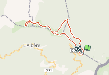

Longueur
9,1 km

Altitude max
1020 m

Dénivelé positif
312 m
Km-Effort
13,3 km

Altitude min
872 m

Dénivelé négatif
323 m
Boucle
Oui
Date de création :
2020-08-01 13:25:01.472
Dernière modification :
2020-08-01 16:41:04.917
3h15
Difficulté : Très facile

Application GPS de randonnée GRATUITE
 SityTrail
IGN / Instituts géographiques
SityTrail Plus
Le monde est à vous
À propos
Randonnée Marche de 9,1 km à découvrir à Occitanie, Pyrénées-Orientales, L'Albère. Cette randonnée est proposée par stef789.
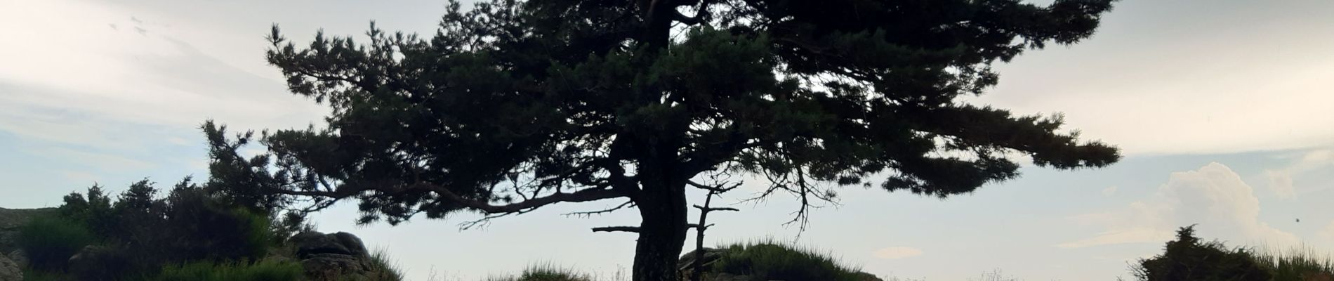
Photos


Localisation
Pays :
France
Région :
Occitanie
Département/Province :
Pyrénées-Orientales
Commune :
L'Albère
Localité :
Unknown
Départ:(Dec)
Départ:(UTM)
493659 ; 4703019 (31T) N.
Commentaires