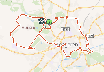

12,6 km | 14,3 km-effort

Utilisateur GUIDE


Application GPS de randonnée GRATUITE
 SityTrail
IGN / Instituts géographiques
SityTrail World
Le monde est à vous
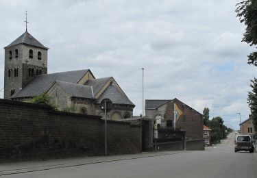
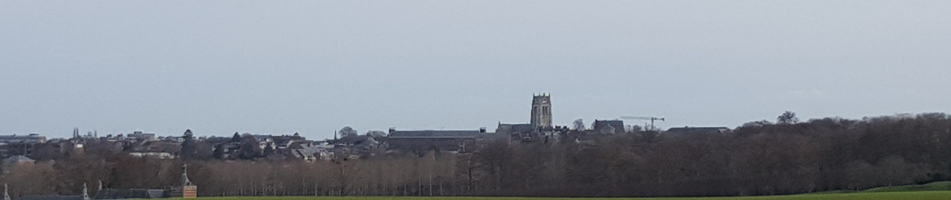
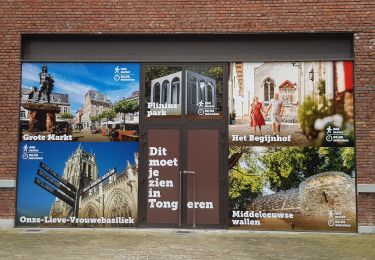
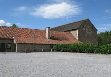
Randonnée Marche de 14,4 km à découvrir à Flandre, Limbourg, Tongres. Cette randonnée est proposée par mumu.larandonneuse.
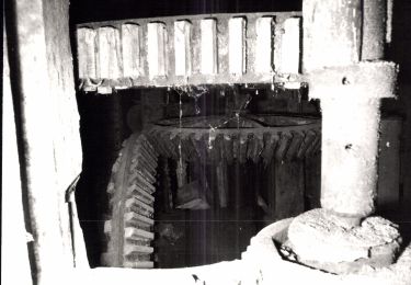
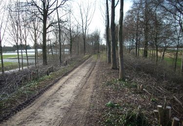
Beau parcours en 2 boucles.
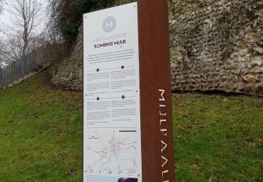
📌 Parking du parc Plinius, Fonteindreef 8.
Dos au parking, départ à gauche pour la boucle de 8 km et à droite pour celle de 6 km.


Marche

A pied
A pied
A pied