


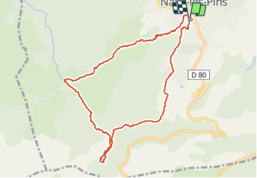

8,4 km | 15,5 km-effort

Utilisateur


Application GPS de randonnée GRATUITE
 SityTrail
IGN / Instituts géographiques
SityTrail World
Le monde est à vous
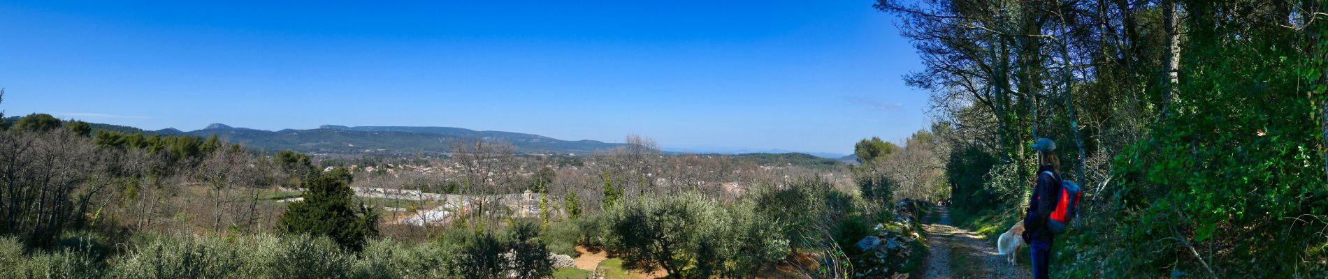
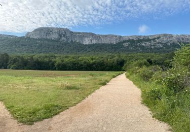
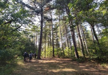
Randonnée Marche de 10 km à découvrir à Provence-Alpes-Côte d'Azur, Var, Nans-les-Pins. Cette randonnée est proposée par famillerudent.
petite boucle au depart de nans a éviter le samedi et le dimanche à cause du monde .attention l'accés à la riviere est désormais interdit (à cause du monde) et les chiens sont à tenir en laisse le long de l'huveaune
bonne ballade


Marche

Marche

Marche

Marche

Marche

Marche
A pied
Marche
Marche