


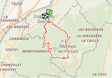

15,8 km | 31 km-effort

Utilisateur


Application GPS de randonnée GRATUITE
 SityTrail
IGN / Instituts géographiques
SityTrail World
Le monde est à vous
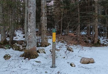
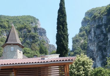
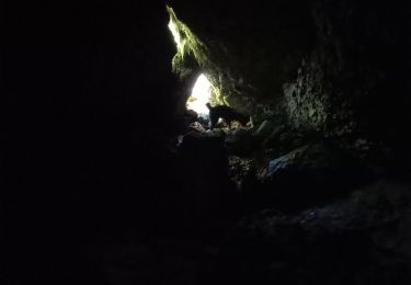
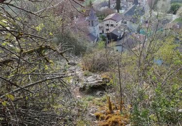
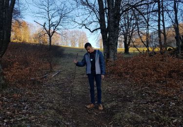
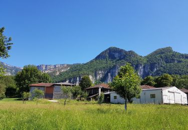
Randonnée Marche de 15,5 km à découvrir à Auvergne-Rhône-Alpes, Isère, Cognin-les-Gorges. Cette randonnée est proposée par Sylvie.P .
Circuit de 15 kms au départ de Cognin les gorges, gorges du Nan et cirque de Malleval en Vercors, ombragé et donc à conseiller par grosse chaleur


Marche

Marche
V.T.T.
Marche
Marche
Marche
Marche
Marche
Marche