


neufmarteau . royonpré retour via trou cola

stef789
Utilisateur GUIDE
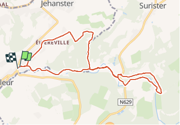

Longueur
10,2 km

Altitude max
340 m

Dénivelé positif
192 m
Km-Effort
12,8 km

Altitude min
224 m

Dénivelé négatif
194 m
Boucle
Oui
Date de création :
2021-06-20 11:52:35.334
Dernière modification :
2021-06-20 14:50:38.496
2h57
Difficulté : Très facile

Application GPS de randonnée GRATUITE
 SityTrail
IGN / Instituts géographiques
SityTrail Plus
Le monde est à vous
À propos
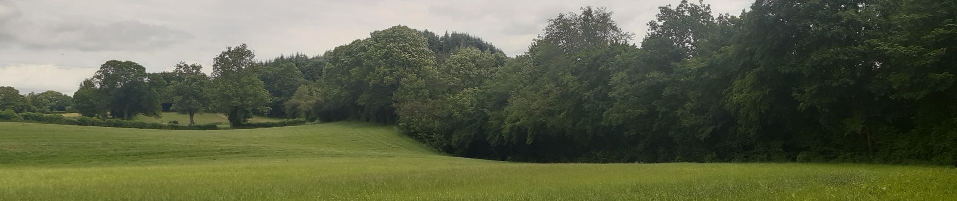
Randonnée Marche de 10,2 km à découvrir à Wallonie, Liège, Theux. Cette randonnée est proposée par stef789.
Photos


Localisation
Pays :
Belgique
Région :
Wallonie
Département/Province :
Liège
Commune :
Theux
Localité :
Polleur
Départ:(Dec)
Départ:(UTM)
704605 ; 5602920 (31U) N.
Commentaires