


Charande depuis les Aigaux

michel.pegaz
Utilisateur
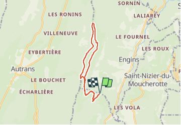

Longueur
12,8 km

Altitude max
1714 m

Dénivelé positif
548 m
Km-Effort
20 km

Altitude min
1256 m

Dénivelé négatif
549 m
Boucle
Oui
Date de création :
2021-07-20 07:15:12.0
Dernière modification :
2021-08-21 20:15:08.004
4h53
Difficulté : Moyen

Application GPS de randonnée GRATUITE
 SityTrail
IGN / Instituts géographiques
SityTrail Plus
Le monde est à vous
À propos
Randonnée Marche de 12,8 km à découvrir à Auvergne-Rhône-Alpes, Isère, Lans-en-Vercors. Cette randonnée est proposée par michel.pegaz.
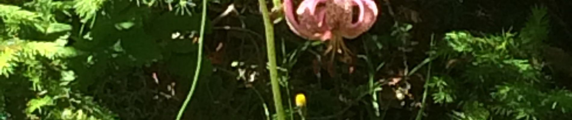
Photos


Localisation
Pays :
France
Région :
Auvergne-Rhône-Alpes
Département/Province :
Isère
Commune :
Lans-en-Vercors
Localité :
Unknown
Départ:(Dec)
Départ:(UTM)
704106 ; 5004432 (31T) N.
Commentaires