


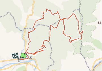

22 km | 40 km-effort

Utilisateur


Application GPS de randonnée GRATUITE
 SityTrail
IGN / Instituts géographiques
SityTrail World
Le monde est à vous
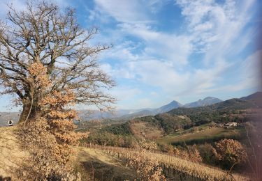
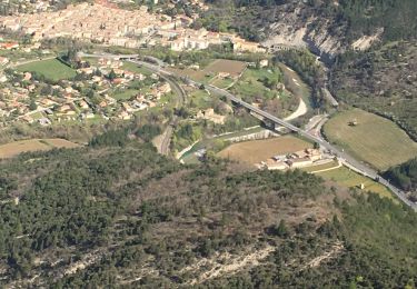
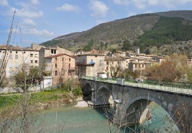
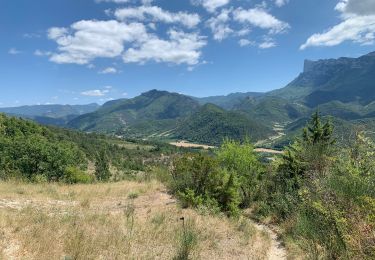
Randonnée Marche de 15,9 km à découvrir à Auvergne-Rhône-Alpes, Drôme, Saillans. Cette randonnée est proposée par TOULAUDIN.
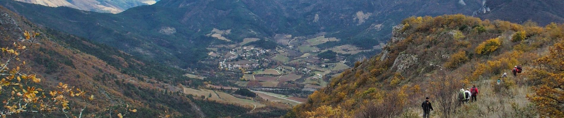
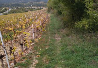
trace enregistrée quelques passages hors sentier du à propriété privée.la parie la plus intéressante est entre le KM 12 et la KM 15.5 tout en balcon vue sur la Drôme


Marche
Marche

V.T.T.
Marche
Marche
Marche
Marche
Marche
Marche