Randonnée Marche Lesménils - Lesmenils - Le Xon - Photo
© OpenStreetMap contributors
Longueur
Longueur
5 km
Altitude max
Altitude max
352 m
Dénivelé positif
Dénivelé positif
141 m
Km-Effort
Km-Effort  
6,9 km
Altitude min
Altitude min
211 m
Dénivelé négatif
Dénivelé négatif
138 m
Boucle
Boucle
Oui
Date de création :
2021-12-02 13:46:45.615
Dernière modification :
2021-12-02 15:57:22.653

(0 Avis)

Marche
Marche
2h10
Difficulté : Facile

Scannez ce code QR pour ouvrir la randonnée dans l'application SityTrail

Application GPS de randonnée GRATUITE

Logo SityTrail SityTrail

IGN / Instituts géographiques

Télécharger SityTrail sur l'App Store Télécharger SityTrail sur Google Play

Logo SityTrail SityTrail World

Le monde est à vous

Télécharger SityTrail sur l'App Store Télécharger SityTrail sur Google Play Télécharger SityTrail sur Huawei AppGallery

À propos

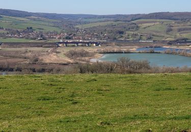
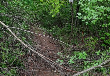
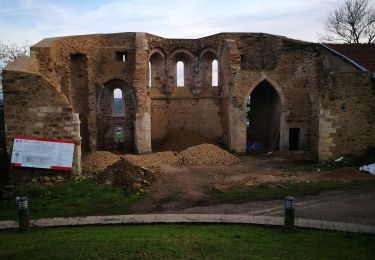
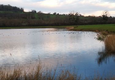
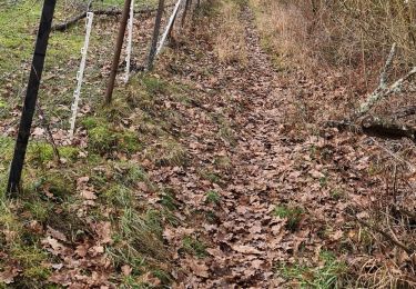
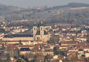
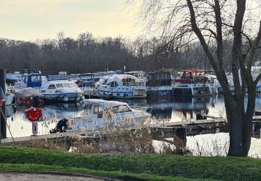
Randonnée Marche de 5 km à découvrir à Grand Est, Meurthe-et-Moselle, Lesménils. Cette randonnée est proposée par jean-marie.parachini.

Profil altimétrique

Photos

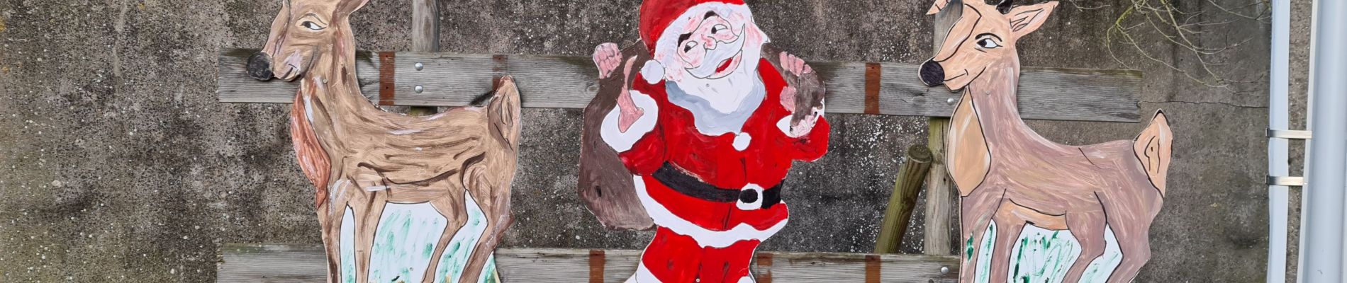
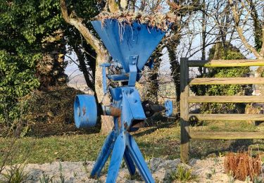
24 photos au total. Cliquez sur une photo pour les afficher toutes dans la galerie.

Localisation

Pays :
France
Région :
Grand Est
Département/Province :
Meurthe-et-Moselle
Commune :
Lesménils
Localité :
Unknown
Départ:(UTM)
287772 ; 5423853 (32U) N.

Randonnées à proximité

Randonnée V.T.T. Pont-à-Mousson - Pose balises V3 - Photo
V.T.T.
PhilippeC54

V.T.T.

Moyen
(1)
Pont-à-Mousson, Grand Est, Meurthe-et-Moselle, France
19,9 km | 26 km-effort
2h 1min
Non
Randonnée Marche Champey-sur-Moselle - CHAMPEY - LA FRONTIERE - Photo
Marche
jean-marie.parachini

Marche

Facile
Champey-sur-Moselle, Grand Est, Meurthe-et-Moselle, France
10,7 km | 14,5 km-effort
3h 31min
Oui
Randonnée V.T.T. Pont-à-Mousson - essai 4 LEVO SL - Photo
V.T.T.
PhilippeC54

V.T.T.

Difficile
Pont-à-Mousson, Grand Est, Meurthe-et-Moselle, France
58 km | 77 km-effort
3h 29min
Oui
Randonnée Marche Pont-à-Mousson - Mousson par les remparts - Photo
Marche
jean-marie.parachini

Marche

Très facile
Pont-à-Mousson, Grand Est, Meurthe-et-Moselle, France
4,6 km | 6,8 km-effort
23min
Non
Randonnée Marche Pont-à-Mousson - les etangs Muller - Photo
Marche
jean-marie.parachini

Marche

Très facile
Pont-à-Mousson, Grand Est, Meurthe-et-Moselle, France
4,4 km | 4,8 km-effort
55min
Oui
Randonnée Marche Maidières - Maidieres - Boucle des vergers - variante - Photo
Marche
jean-marie.parachini

Marche

Moyen
Maidières, Grand Est, Meurthe-et-Moselle, France
6,4 km | 8,7 km-effort
2h 1min
Oui
Randonnée Marche Maidières - Maidières Poterosse chemin de la croix robert GR5 Prochebois - Photo
Marche
jean-marie.parachini

Marche

Moyen
Maidières, Grand Est, Meurthe-et-Moselle, France
4 km | 5,8 km-effort
1h 30min
Oui
Randonnée Marche Pont-à-Mousson - Pont A Mousson les étangs depuis le port fluvial - Photo
Marche
Maimaxine

Marche

Facile
Pont-à-Mousson, Grand Est, Meurthe-et-Moselle, France
5,6 km | 6 km-effort
1h 21min
Oui
Randonnée Marche Pont-à-Mousson - Mousson les ruines du vieux chateau - Photo
Marche
jean-marie.parachini

Marche

Moyen
Pont-à-Mousson, Grand Est, Meurthe-et-Moselle, France
4,5 km | 7 km-effort
2h 14min
Oui


Fermer
Mes abonnements