


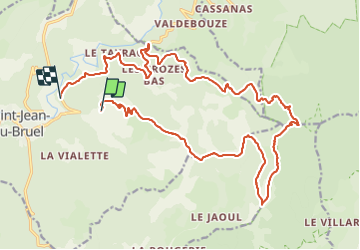

12,5 km | 19,3 km-effort


Utilisateur


Application GPS de randonnée GRATUITE
 SityTrail
IGN / Instituts géographiques
SityTrail World
Le monde est à vous
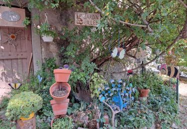
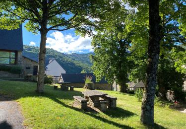
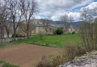
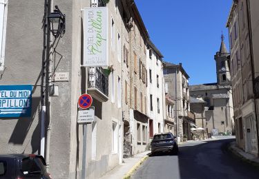
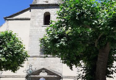
Randonnée Course à pied de 25 km à découvrir à Occitanie, Aveyron, Saint-Jean-du-Bruel. Cette randonnée est proposée par mathieu.causse.
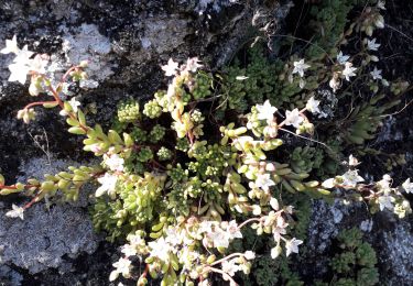
belle
Marche
Marche
Marche
Marche
Marche
Marche
Marche
Marche