


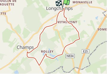

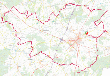
11,7 km | 13,9 km-effort

Randonnées du CGT GUIDE+


Application GPS de randonnée GRATUITE
 SityTrail
IGN / Instituts géographiques
SityTrail World
Le monde est à vous
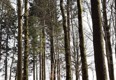
Randonnée A pied de 7,6 km à découvrir à Wallonie, Luxembourg, Bertogne. Cette randonnée est proposée par Commissariat général au Tourisme.
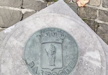
Randonnée créée par Pays de Bastogne.
Itinéraire balisé de la commune de Bertogne, disponible sur la carte de la commune.
Site web: https://organismes.tourismewallonie.be/details/LOD-A0-003I-0CE1&type=8/


Marche
A pied
Marche
Marche
A pied
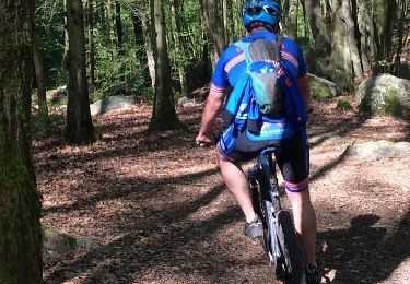
V.T.T.
A pied

A pied

A pied