Randonnée A pied Unknown - Würzburgs Stadtgrenze, 2. Teil - Photo

Würzburgs Stadtgrenze, 2. Teil

Tous les sentiers balisés d’Europe PRO

© OpenStreetMap contributors
Longueur
Longueur
8,5 km
Altitude max
Altitude max
319 m
Dénivelé positif
Dénivelé positif
170 m
Km-Effort
Km-Effort  
10,9 km
Altitude min
Altitude min
219 m
Dénivelé négatif
Dénivelé négatif
206 m
Boucle
Boucle
Non
Balise
Balise
Date de création :
2022-02-11 20:55:15.261
Dernière modification :
2022-02-11 20:55:15.261

(0 Avis)

A pied
A pied
2h28
Difficulté : Facile

Scannez ce code QR pour ouvrir la randonnée dans l'application SityTrail

Application GPS de randonnée GRATUITE

Logo SityTrail SityTrail

IGN / Instituts géographiques

Télécharger SityTrail sur l'App Store Télécharger SityTrail sur Google Play

Logo SityTrail SityTrail World

Le monde est à vous

Télécharger SityTrail sur l'App Store Télécharger SityTrail sur Google Play Télécharger SityTrail sur Huawei AppGallery

À propos

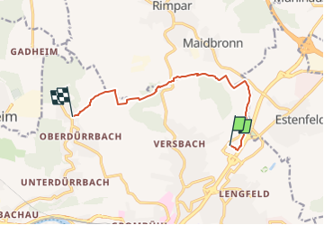
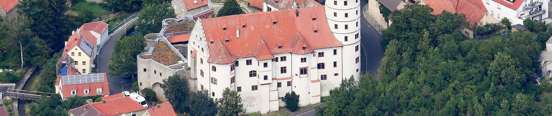
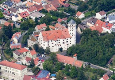
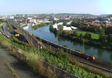
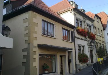
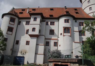
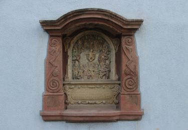
Randonnée A pied de 8,5 km à découvrir à Bavière, Wurtzbourg. Cette randonnée est proposée par SityTrail - itinéraires balisés pédestres.

Description

Randonnée créée par Stadt Würzburg, Baureferat, Fachbereich Tiefbau und Verkehrswesen.

Photos

Localisation

Pays :
Allemagne
Région :
Bavière
Département/Province :
Wurtzbourg
Commune :
Unknown
Localité :
Unknown
Départ:(UTM)
570572 ; 5519348 (32U) N.

Randonnées à proximité

Randonnée A pied Rottendorf - Würzburgs Stadtgrenze in 7 Teilen - Photo
A pied
PRO

A pied

Moyen
Rottendorf, Bavière, Landkreis Würzburg, Allemagne
20 km | 26 km-effort
5h 51min
Non
Randonnée A pied Rottendorf - Würzburgs Stadtgrenze, 1. Teil - Photo
A pied
PRO

A pied

Facile
Rottendorf, Bavière, Landkreis Würzburg, Allemagne
7,8 km | 9,4 km-effort
2h 7min
Non
Randonnée A pied  - Steinweinpfad - Photo
A pied
PRO

A pied

Facile
, Bavière, Wurtzbourg, Allemagne
4,3 km | 5,8 km-effort
1h 19min
Oui
Randonnée A pied  - Zielwanderweg Würzburg-Arnstein - Photo
A pied
PRO

A pied

Moyen
, Bavière, Wurtzbourg, Allemagne
23 km | 31 km-effort
6h 56min
Non
Randonnée A pied Rimpar - Kulturweg Gramschatz 1 - Photo
A pied
PRO

A pied

Facile
Rimpar, Bavière, Landkreis Würzburg, Allemagne
4 km | 5,4 km-effort
1h 13min
Non
Randonnée A pied Rottendorf - Von Kirche zu Kirche - Photo
A pied
PRO

A pied

Facile
Rottendorf, Bavière, Landkreis Würzburg, Allemagne
6,2 km | 7,7 km-effort
1h 44min
Oui
Randonnée A pied Rottendorf - Kronstadter Boden - Photo
A pied
PRO

A pied

Facile
Rottendorf, Bavière, Landkreis Würzburg, Allemagne
9 km | 11 km-effort
2h 29min
Non
Randonnée A pied  - Wanderweg Würzburg-Erlabrunn - Photo
A pied
PRO

A pied

Difficile
, Bavière, Wurtzbourg, Allemagne
30 km | 40 km-effort
8h 59min
Non
Randonnée A pied  - Altstadtrundgang - Photo
A pied
PRO

A pied

Facile
, Bavière, Wurtzbourg, Allemagne
3,6 km | 3,9 km-effort
53min
Oui


Fermer
Mes abonnements