


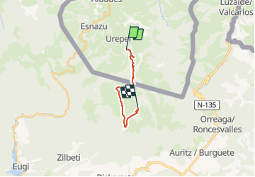

14,4 km | 22 km-effort

Tous les sentiers balisés d’Europe PRO


Application GPS de randonnée GRATUITE
 SityTrail
IGN / Instituts géographiques
SityTrail World
Le monde est à vous
Randonnée A pied de 12,8 km à découvrir à Nouvelle-Aquitaine, Pyrénées-Atlantiques, Urepel. Cette randonnée est proposée par SityTrail - itinéraires balisés pédestres.
Randonnée créée par Red de senderos del Valle de Erro / Erroibarko bidexken sarea.


Marche
Marche
Marche
Marche
Marche
Marche
Marche
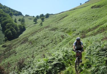
V.T.T.
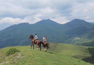
Cheval