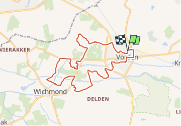

6,5 km | 7 km-effort

Tous les sentiers balisés d’Europe PRO


Application GPS de randonnée GRATUITE
 SityTrail
IGN / Instituts géographiques
SityTrail World
Le monde est à vous
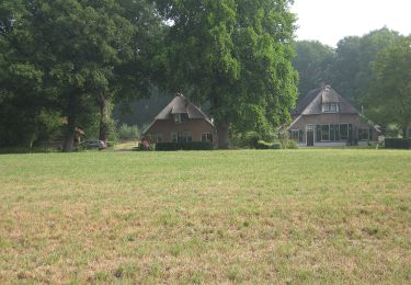
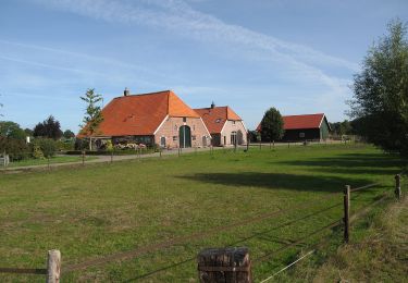
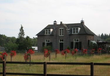
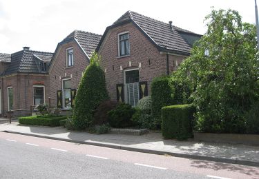
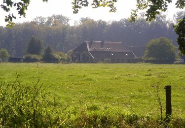
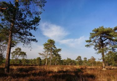
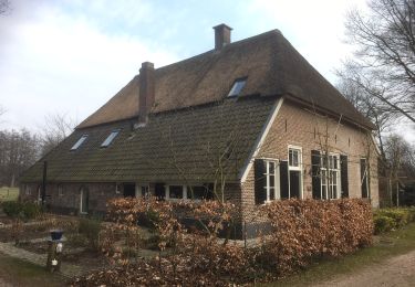
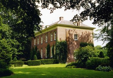
Randonnée A pied de 16,5 km à découvrir à Gueldre, Inconnu, Bronckhorst. Cette randonnée est proposée par SityTrail - itinéraires balisés pédestres.
Randonnée créée par Recreatieschap Achterhoek Liemers.
Site web: http://www.recreatieschap.nl/routes.aspx


A pied
A pied
A pied
A pied
A pied
A pied
A pied
A pied