


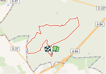

4,2 km | 4,9 km-effort


Tous les sentiers balisés d’Europe PRO


Application GPS de randonnée GRATUITE
 SityTrail
IGN / Instituts géographiques
SityTrail World
Le monde est à vous
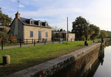
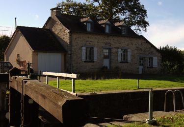
Randonnée A pied de 8,4 km à découvrir à Bretagne, Ille-et-Vilaine, Liffré. Cette randonnée est proposée par SityTrail - itinéraires balisés pédestres.
Randonnée créée par Office National des Forêts.


A pied
A pied

A pied
A pied
A pied
A pied
A pied
A pied
A pied