


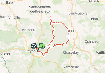

9,2 km | 12,3 km-effort


Utilisateur


Application GPS de randonnée GRATUITE
 SityTrail
IGN / Instituts géographiques
SityTrail World
Le monde est à vous
Randonnée Randonnée équestre de 27 km à découvrir à Auvergne-Rhône-Alpes, Isère, Roybon. Cette randonnée est proposée par oboj.
Itinéraire inspiré par l'office de tourisme Terres de Berlioz.

Marche
Marche
Marche
Randonnée équestre
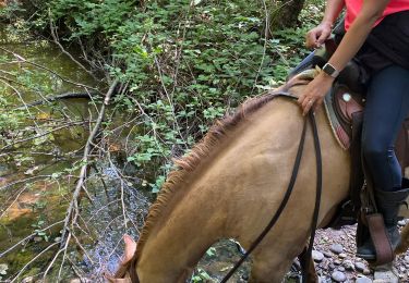
Randonnée équestre
Marche

Randonnée équestre
Randonnée équestre
Randonnée équestre