


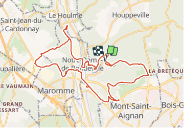


11,7 km | 15,2 km-effort

Utilisateur


Application GPS de randonnée GRATUITE
 SityTrail
IGN / Instituts géographiques
SityTrail World
Le monde est à vous
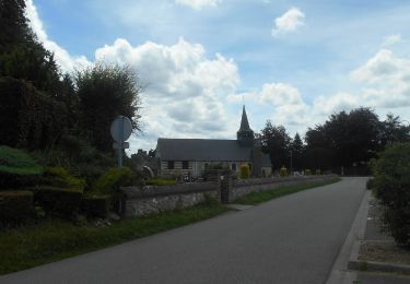
Randonnée Marche de 23 km à découvrir à Normandie, Seine-Maritime, Notre-Dame-de-Bondeville. Cette randonnée est proposée par jacques delaporte.
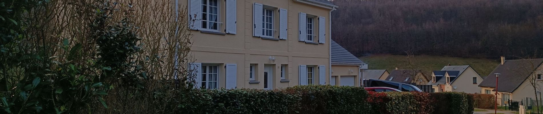
Belle randonnée hivernale,sensibles au Macadam, s'abstenir et agréable douceur Normande


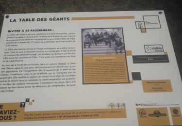
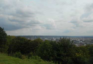
27 photos au total. Cliquez sur une photo pour les afficher toutes dans la galerie.
Marche

Marche

Marche

V.T.T.

Marche

Marche nordique

Marche
Marche
Marche