


source antrogne

thomas1986
Utilisateur

Longueur
6,8 km

Altitude max
447 m

Dénivelé positif
196 m
Km-Effort
9,4 km

Altitude min
340 m

Dénivelé négatif
184 m
Boucle
Non
Date de création :
2022-03-06 11:37:15.212
Dernière modification :
2022-03-06 14:08:58.147
2h31
Difficulté : Moyen

Application GPS de randonnée GRATUITE
 SityTrail
IGN / Instituts géographiques
SityTrail Plus
Le monde est à vous
À propos
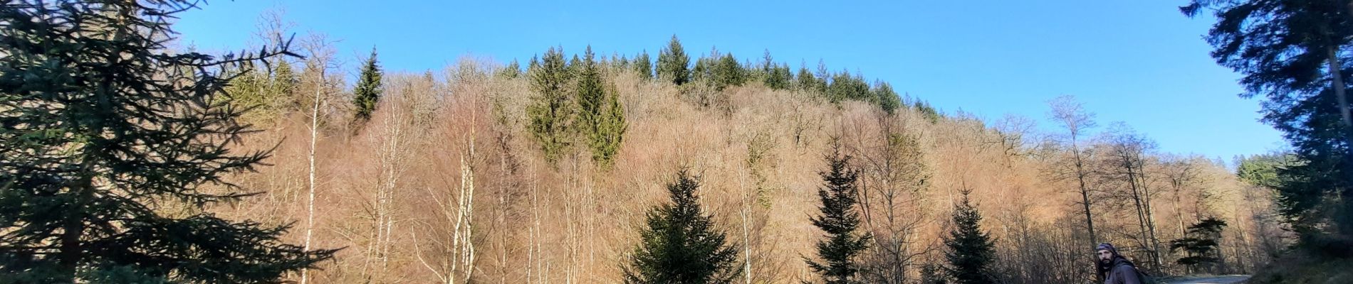
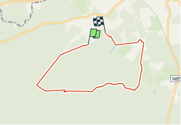
Randonnée Marche de 6,8 km à découvrir à Wallonie, Luxembourg, Herbeumont. Cette randonnée est proposée par thomas1986.
Photos

Localisation
Pays :
Belgique
Région :
Wallonie
Département/Province :
Luxembourg
Commune :
Herbeumont
Localité :
Unknown
Départ:(Dec)
Départ:(UTM)
665545 ; 5519351 (31U) N.
Commentaires