


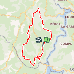


34 km | 44 km-effort

Utilisateur


Application GPS de randonnée GRATUITE
 SityTrail
IGN / Instituts géographiques
SityTrail World
Le monde est à vous
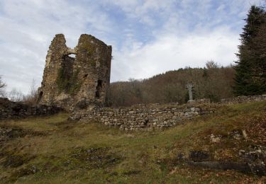
Randonnée Marche de 16,3 km à découvrir à Auvergne-Rhône-Alpes, Puy-de-Dôme, Saint-Priest-des-Champs. Cette randonnée est proposée par tracegps.
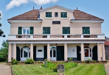
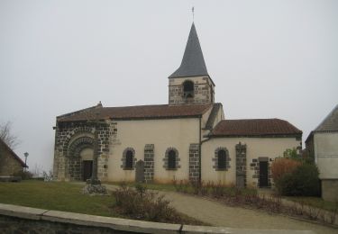
Une balade depuis le village de Lamazière (parking près du lavoir).

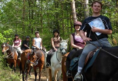
Randonnée équestre
A pied
A pied
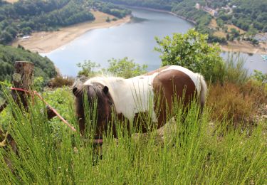
Randonnée équestre
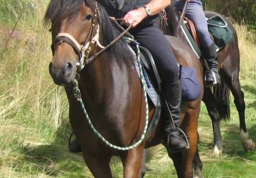
Randonnée équestre
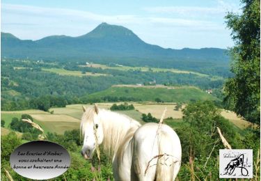
Randonnée équestre
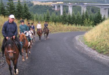
Randonnée équestre
A pied
A pied