


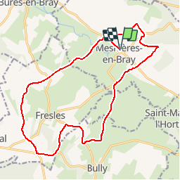

17,4 km | 22 km-effort

Utilisateur


Application GPS de randonnée GRATUITE
 SityTrail
IGN / Instituts géographiques
SityTrail World
Le monde est à vous
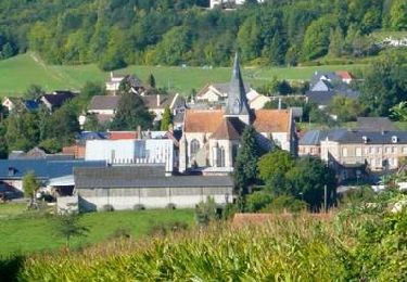
Randonnée Marche de 17,6 km à découvrir à Normandie, Seine-Maritime, Mesnières-en-Bray. Cette randonnée est proposée par tracegps.
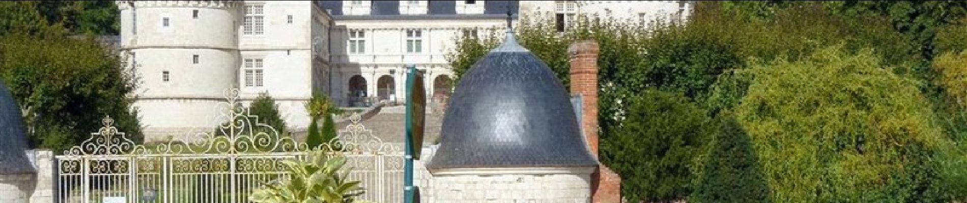
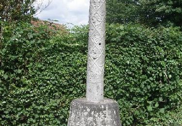
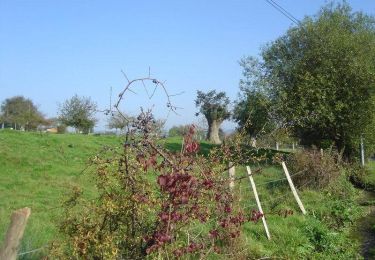
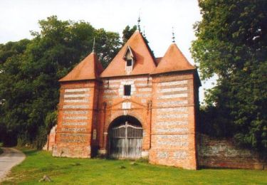
Le château de Mesnières est bien connu pour son allure de château de la Loire, en pays de Bray. Notre balade nous conduit sur les coteaux de la vallée de la Béthune, autour du château.


Marche
Marche

Marche

Marche
V.T.T.
Vélo
V.T.T.
V.T.T.

V.T.T.