


l'AIGRE / COLS DES SACS/PAS d'ADAM

Michel DUBOIS
Utilisateur

Longueur
12,8 km

Altitude max
444 m

Dénivelé positif
407 m
Km-Effort
18,3 km

Altitude min
135 m

Dénivelé négatif
402 m
Boucle
Oui
Date de création :
2022-05-03 07:11:12.586
Dernière modification :
2022-05-03 07:13:32.304
4h08
Difficulté : Moyen

Application GPS de randonnée GRATUITE
 SityTrail
IGN / Instituts géographiques
SityTrail Plus
Le monde est à vous
À propos
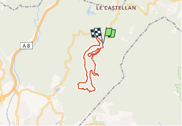
Randonnée Marche de 12,8 km à découvrir à Provence-Alpes-Côte d'Azur, Var, Fréjus. Cette randonnée est proposée par Michel DUBOIS.
Localisation
Pays :
France
Région :
Provence-Alpes-Côte d'Azur
Département/Province :
Var
Commune :
Fréjus
Localité :
Unknown
Départ:(Dec)
Départ:(UTM)
322291 ; 4818291 (32T) N.
Commentaires
superbe rando physique dans le 2eme tiers