


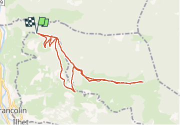

6,1 km | 8,5 km-effort


Utilisateur


Application GPS de randonnée GRATUITE
 SityTrail
IGN / Instituts géographiques
SityTrail World
Le monde est à vous
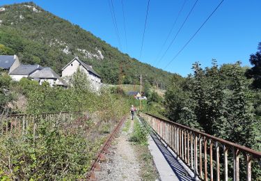
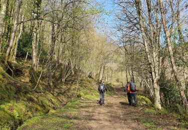
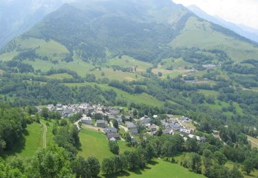
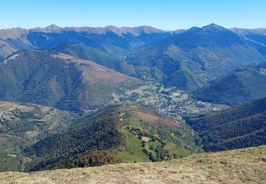
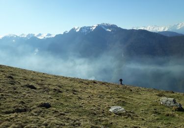
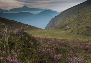
Randonnée Marche de 10,3 km à découvrir à Occitanie, Hautes-Pyrénées, Sarrancolin. Cette randonnée est proposée par Bernard24.
facile mais long
Marche
Marche
Marche
V.T.T.
Marche
Marche
Course à pied

Marche
Marche