


hody . hestreux . targnon . hody

stef789
Utilisateur GUIDE
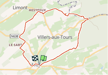

Longueur
9,1 km

Altitude max
296 m

Dénivelé positif
179 m
Km-Effort
11,5 km

Altitude min
208 m

Dénivelé négatif
181 m
Boucle
Oui
Date de création :
2022-10-08 13:13:58.86
Dernière modification :
2022-10-08 15:52:19.87
2h36
Difficulté : Facile

Application GPS de randonnée GRATUITE
 SityTrail
IGN / Instituts géographiques
SityTrail Plus
Le monde est à vous
À propos
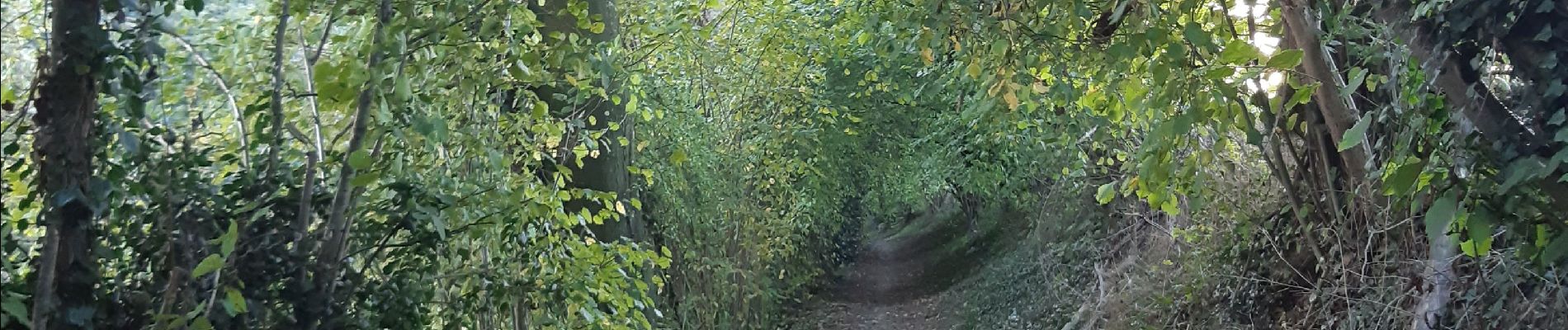
Randonnée Marche de 9,1 km à découvrir à Wallonie, Liège, Anthisnes. Cette randonnée est proposée par stef789.
Photos


Localisation
Pays :
Belgique
Région :
Wallonie
Département/Province :
Liège
Commune :
Anthisnes
Localité :
Unknown
Départ:(Dec)
Départ:(UTM)
677584 ; 5595755 (31U) N.
Commentaires