


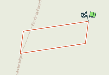

14,4 km | 16,8 km-effort


Utilisateur


Application GPS de randonnée GRATUITE
 SityTrail
IGN / Instituts géographiques
SityTrail World
Le monde est à vous
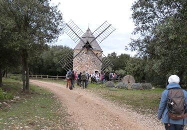
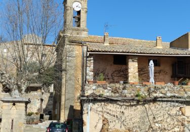
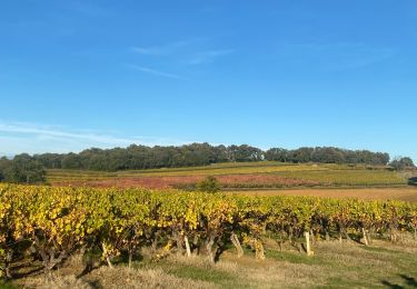
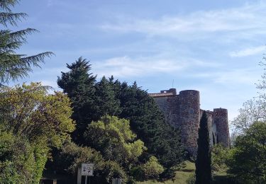
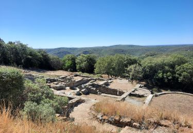
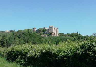
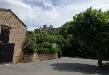
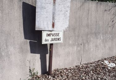
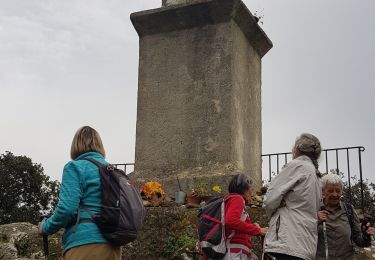
Randonnée A pied de 251 m à découvrir à Occitanie, Gard, Vallabrix. Cette randonnée est proposée par Gaston30.
Marche
Marche
Marche
Marche
Marche
V.T.T.
Marche
Marche
Marche