


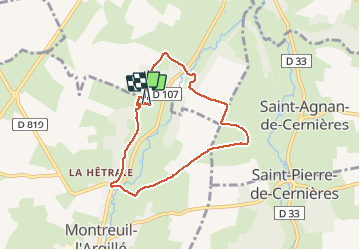

11,2 km | 12 km-effort


Utilisateur


Application GPS de randonnée GRATUITE
 SityTrail
IGN / Instituts géographiques
SityTrail World
Le monde est à vous
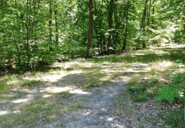
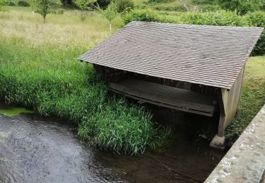
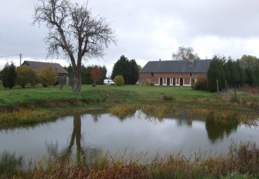
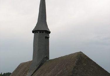
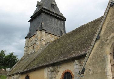
Randonnée Cheval de 6,2 km à découvrir à Normandie, Eure, Montreuil-l'Argillé. Cette randonnée est proposée par goupilt.
Marche

Marche
Marche
Marche
Marche
Marche
Vélo