


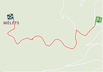

6,7 km | 9,1 km-effort


Utilisateur


Application GPS de randonnée GRATUITE
 SityTrail
IGN / Instituts géographiques
SityTrail World
Le monde est à vous
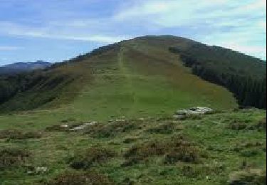
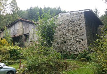
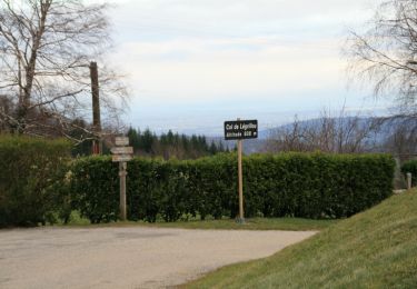
Randonnée A pied de 1,8 km à découvrir à Occitanie, Ariège, Alzen. Cette randonnée est proposée par Jean-Paul Raton.
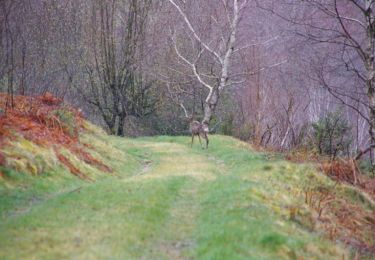
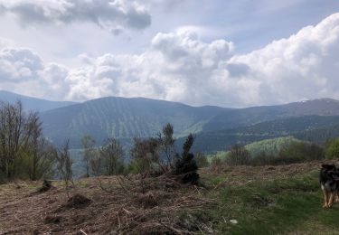
Marche
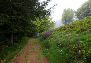
Marche

Sports d'hiver
Marche
Marche
Course à pied
Marche
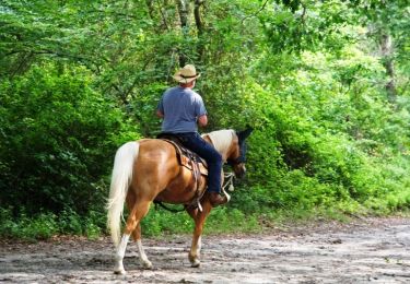
Cheval

Cheval