


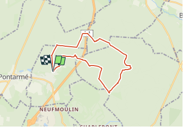

8,2 km | 9,2 km-effort


Utilisateur

Application GPS de randonnée GRATUITE
 SityTrail
IGN / Instituts géographiques
SityTrail World
Le monde est à vous
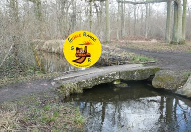
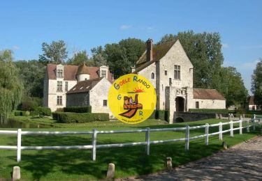
Randonnée de 13,3 km à découvrir à Hauts-de-France, Oise, Thiers-sur-Thève. Cette randonnée est proposée par christinemirtain@orange.fr.
Marche
Marche

Marche
Marche

Marche

Marche
Marche
Marche

Marche nordique