


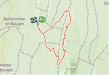

12,4 km | 28 km-effort

Utilisateur


Application GPS de randonnée GRATUITE
 SityTrail
IGN / Instituts géographiques
SityTrail World
Le monde est à vous
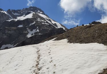
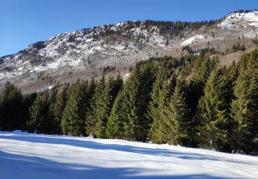
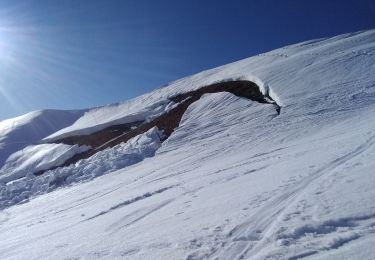
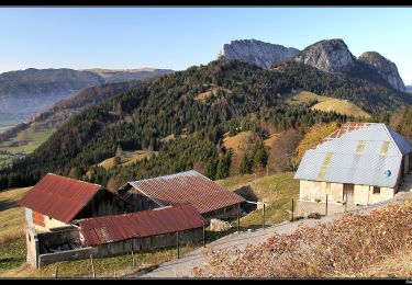
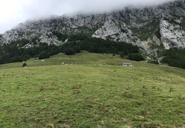
Randonnée Marche de 18,4 km à découvrir à Auvergne-Rhône-Alpes, Savoie, Bellecombe-en-Bauges. Cette randonnée est proposée par Zasa .
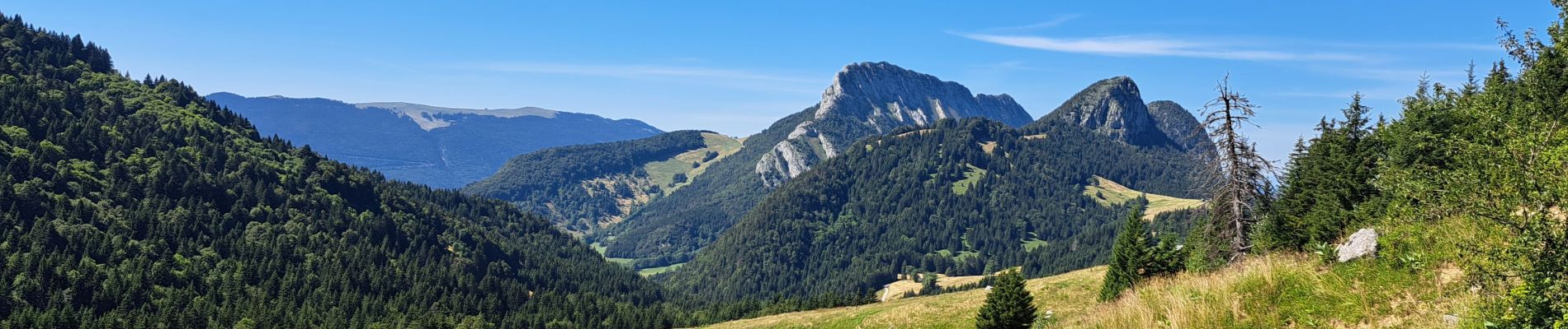
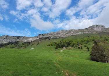
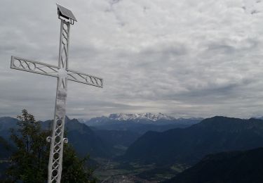
Très belle randonnée avec des points de vue magnifique. Une bonne condition physique est préférable, mais pas de grosse difficulté.


Marche
Marche
Marche
Marche
Marche
Marche
Ski de randonnée
Marche
Marche