


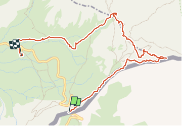

13,1 km | 23 km-effort

Utilisateur


Application GPS de randonnée GRATUITE
 SityTrail
IGN / Instituts géographiques
SityTrail World
Le monde est à vous
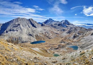
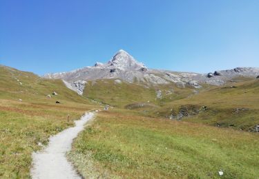
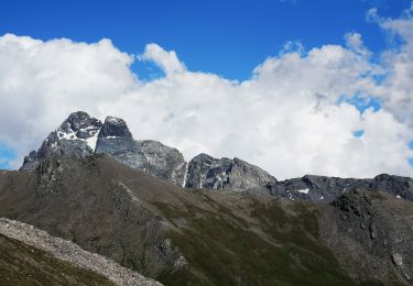
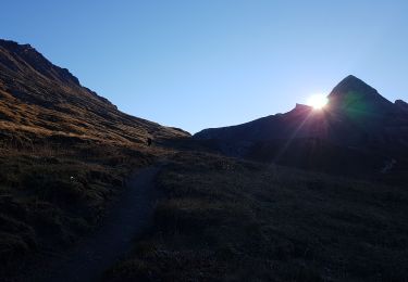
Randonnée Marche de 5,9 km à découvrir à Piémont, Coni, Pontechianale. Cette randonnée est proposée par Youcef Atallah.
Départ Col Agnel


Marche

Marche

Marche

Marche

Marche
Marche
Marche
Marche
Marche