


12,2 km | 14,7 km-effort


Utilisateur


Application GPS de randonnée GRATUITE
 SityTrail
IGN / Instituts géographiques
SityTrail World
Le monde est à vous
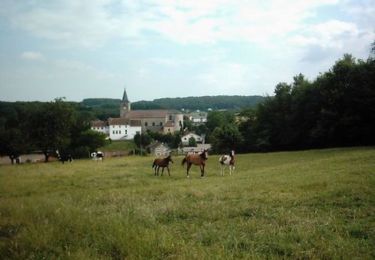
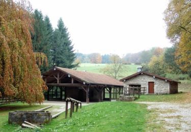
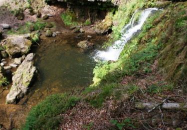
Randonnée Marche de 8,4 km à découvrir à Grand Est, Vosges, Xertigny. Cette randonnée est proposée par fra_depoorter.
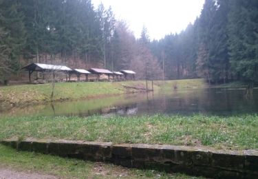
Copie Visorando sauf tour du las au retour

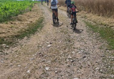
V.T.T.

Marche
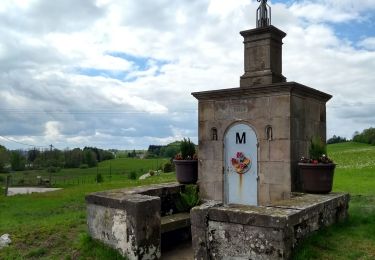
Marche
V.T.T.
V.T.T.

V.T.T.
V.T.T.