


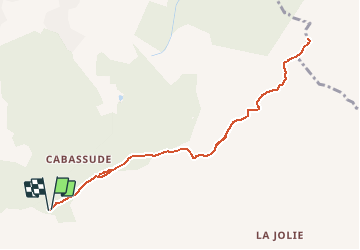


11,8 km | 15,5 km-effort

Utilisateur GUIDE


Application GPS de randonnée GRATUITE
 SityTrail
IGN / Instituts géographiques
SityTrail World
Le monde est à vous
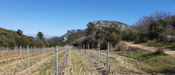
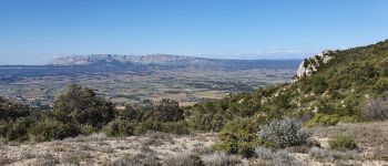
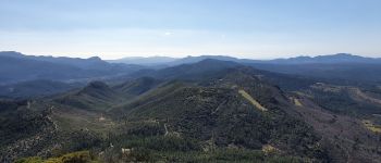
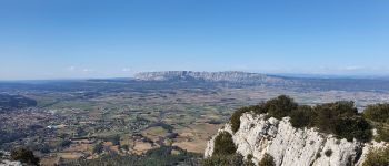
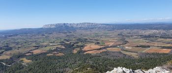
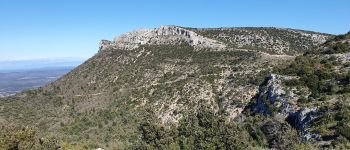
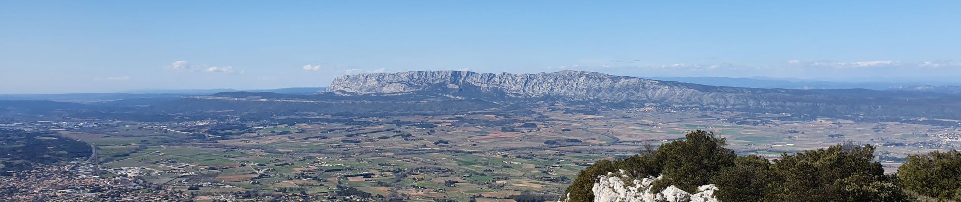
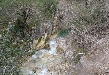
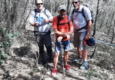
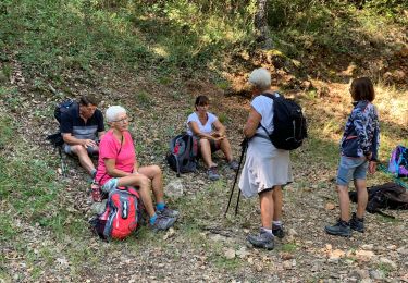
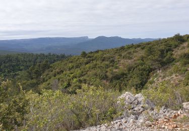
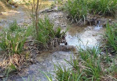
Randonnée Marche de 10,1 km à découvrir à Provence-Alpes-Côte d'Azur, Bouches-du-Rhône, Trets. Cette randonnée est proposée par amiral13.


V.T.T.
Marche

Marche
Marche
Marche

Marche
Marche
V.T.T.
Marche