


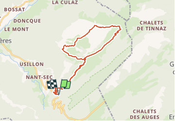

9 km | 15,6 km-effort

Utilisateur


Application GPS de randonnée GRATUITE
 SityTrail
IGN / Instituts géographiques
SityTrail World
Le monde est à vous
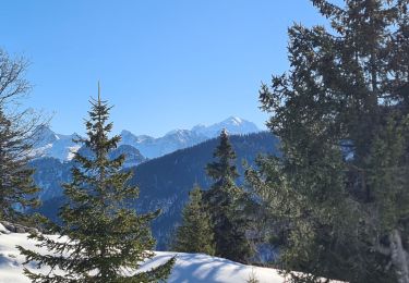
Randonnée Marche de 18,2 km à découvrir à Auvergne-Rhône-Alpes, Haute-Savoie, Fillière. Cette randonnée est proposée par djeepee74.
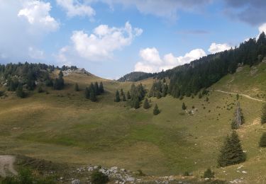
BOUCLE... live du 20231007
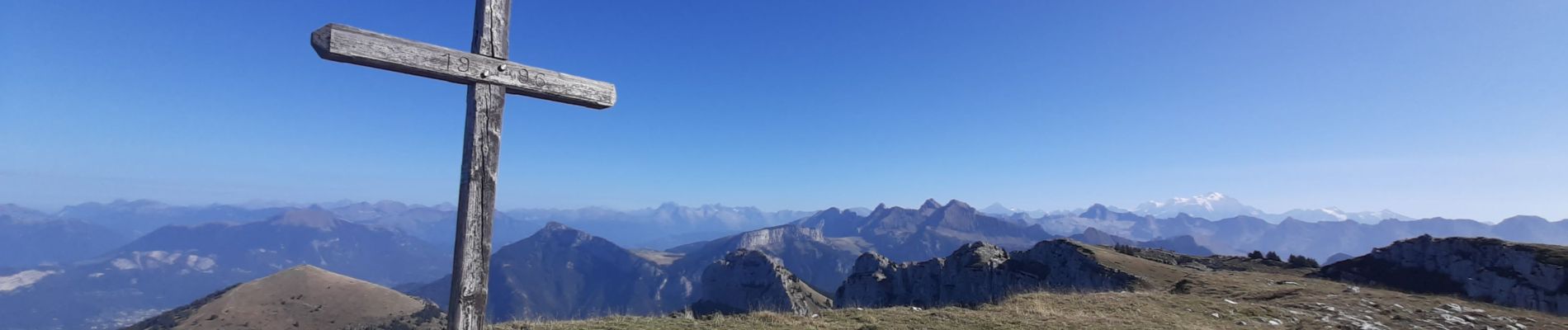
Très jolie randonnée. De bonne heure vous êtes seul-e-s avec les vaches 🥰 . Karine.


Marche

Marche

Marche
Marche
Marche
Marche
Marche
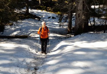
Raquettes à neige
Marche