![](/images/other/stat-length.png)
![Randonnée Marche Haecht - S-GR Dijleland: Haacht - Muizen - Photo](https://media.geolcdn.com/t/1900/400/ext.pjpeg?maxdim=2&url=https%3A%2F%2Fmedia.geolcdn.com%2Ff%2F088fa55e-fe65-4e9b-8757-364eafed9bb1.jpeg)
S-GR Dijleland: Haacht - Muizen
dauzata
Utilisateur
![Longueur](/images/other/stat-length.png)
Longueur
17,1 km
![Altitude max](https://static1.geolcdn.com/siteimages/upload/files/1508320355ic_sort_altitude_max_24dp.png)
Altitude max
17 m
![Dénivelé positif](https://static1.geolcdn.com/siteimages/upload/files/1508320355ic_sort_den_pos_24dp.png)
Dénivelé positif
93 m
![Km-Effort](/images/other/stat-length.png)
Km-Effort
18,3 km
![Altitude min](https://static1.geolcdn.com/siteimages/upload/files/1508320355ic_sort_altitude_min_24dp.png)
Altitude min
0 m
![Dénivelé négatif](https://static1.geolcdn.com/siteimages/upload/files/1508320355ic_sort_den_neg_24dp.png)
Dénivelé négatif
93 m
![Boucle](https://static1.geolcdn.com/siteimages/upload/files/16400158638029165_repeat_loop_refresh_sync_direction_icon.png)
Boucle
Non
Date de création :
2023-11-11 10:33:12.0
Dernière modification :
2023-11-15 21:48:02.709
![Marche](https://static1.geolcdn.com/sitytour/trail-icons/101.png)
4h10
Difficulté : Moyen
![Scannez ce code QR pour ouvrir la randonnée dans l'application SityTrail](https://capi.geolives.com/qq0zvz2zws4bq2lad0pu/sitytour/trails/3864139/qr.png?size=200)
Application GPS de randonnée GRATUITE
À propos
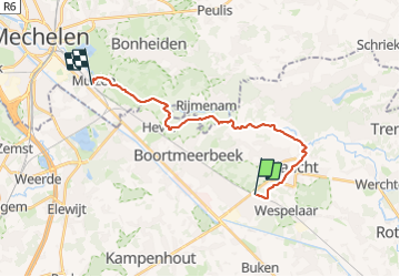
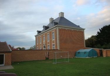
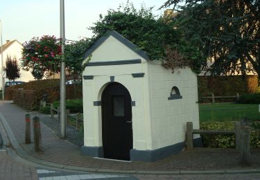
Randonnée Marche de 17,1 km à découvrir à Flandre, Brabant flamand, Haecht. Cette randonnée est proposée par dauzata.
Description
Départ: Gare de Haacht
Arrivée: Gare de Muizen
ATTENTION: Le GR ne passe pas par la gare de Haacht. L'itinéraire de liaison fait environ 4 kms
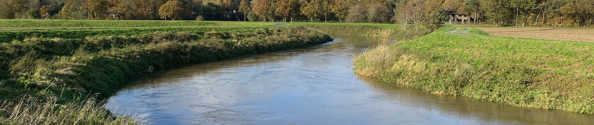
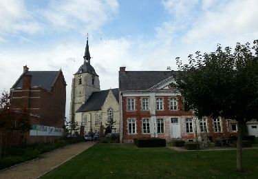
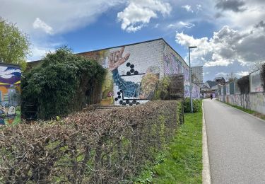
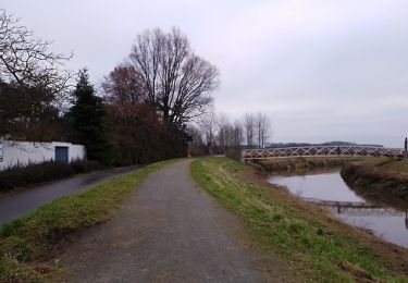
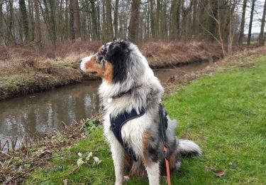
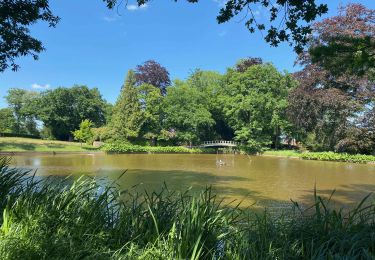
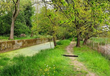
Localisation
Pays :
Belgique
Région :
Flandre
Département/Province :
Brabant flamand
Commune :
Haecht
Localité :
Wespelaar
Départ:(Dec)
Départ:(UTM)
613344 ; 5647314 (31U) N.
Commentaires
Randonnées à proximité
![Randonnée Marche Bonheiden - Hever - Photo](https://media.geolcdn.com/t/375/260/ext.jpg?maxdim=2&url=https%3A%2F%2Fservices.sitytrail.com%2FGeolivesWS%2FDownloadMedia.ashx%3FTrailID%3D656803%26Media%3Dfix__20161020152445.jpg)
![Marche Marche](https://static1.geolcdn.com/sitytour/trail-icons/101.png)
![Randonnée Marche Haecht - Wespelaar - Leuven 22 km - Photo](https://media.geolcdn.com/t/375/260/ext.jpg?maxdim=2&url=https%3A%2F%2Fmedia.geolcdn.com%2Ff%2F0e0abcdd-4dc0-4fa3-9db9-e658c130a57b.jpg)
![Marche Marche](https://static1.geolcdn.com/sitytour/trail-icons/101.png)
Wespelaar - Leuven 22 km
Marche
Moyen
Haecht,
Flandre,
Brabant flamand,
Belgique
![](/images/other/stat-length.png)
23 km | 26 km-effort
6h 2min
![](https://static1.geolcdn.com/siteimages/upload/files/16400158638029165_repeat_loop_refresh_sync_direction_icon.png)
Non
![Randonnée A pied Rotselaer - Zegbroek Rood Vierkant - Photo](https://media.geolcdn.com/t/375/260/ext.jpg?maxdim=2&url=https%3A%2F%2Fmedia.geolcdn.com%2Ff%2F77e1137b-05dd-4358-a25f-2bc0db9b4976.jpeg)
![A pied A pied](https://static1.geolcdn.com/sitytour/trail-icons/100.png)
Zegbroek Rood Vierkant
A pied
Facile
Rotselaer,
Flandre,
Brabant flamand,
Belgique
![](/images/other/stat-length.png)
4,2 km | 4,4 km-effort
1h 0min
![](https://static1.geolcdn.com/siteimages/upload/files/16400158638029165_repeat_loop_refresh_sync_direction_icon.png)
Oui
![Randonnée Marche Kampenhout - Kampenhout door witllofland - 10 km RT - Photo](https://media.geolcdn.com/t/375/260/ext.jpg?maxdim=2&url=https%3A%2F%2Fstatic1.geolcdn.com%2Fsiteimages%2Fupload%2Ffiles%2F1553511878bg_sport_marche.png)
![Marche Marche](https://static1.geolcdn.com/sitytour/trail-icons/101.png)
Kampenhout door witllofland - 10 km RT
Marche
Très facile
(1)
Kampenhout,
Flandre,
Brabant flamand,
Belgique
![](/images/other/stat-length.png)
10,4 km | 11 km-effort
Inconnu
![](https://static1.geolcdn.com/siteimages/upload/files/16400158638029165_repeat_loop_refresh_sync_direction_icon.png)
Oui
![Randonnée Marche Kampenhout - kalmthout1 - Photo](https://media.geolcdn.com/t/375/260/ext.jpg?maxdim=2&url=https%3A%2F%2Fmedia.geolcdn.com%2Ff%2F65b8a2b2-6179-4a30-95cf-59d99607e1c6.jpg)
![Marche Marche](https://static1.geolcdn.com/sitytour/trail-icons/101.png)
kalmthout1
Marche
Très facile
Kampenhout,
Flandre,
Brabant flamand,
Belgique
![](/images/other/stat-length.png)
11,3 km | 12 km-effort
3h 1min
![](https://static1.geolcdn.com/siteimages/upload/files/16400158638029165_repeat_loop_refresh_sync_direction_icon.png)
Oui
![Randonnée Marche Haecht - Wespelaar: Haachts Broek et Antitankgracht - Photo](https://media.geolcdn.com/t/375/260/ext.jpg?maxdim=2&url=https%3A%2F%2Fmedia.geolcdn.com%2Ff%2Fe85e6feb-7b0b-4775-a84c-505ebdc4aad1.jpeg)
![Marche Marche](https://static1.geolcdn.com/sitytour/trail-icons/101.png)
Wespelaar: Haachts Broek et Antitankgracht
Marche
Facile
Haecht,
Flandre,
Brabant flamand,
Belgique
![](/images/other/stat-length.png)
13,6 km | 14,6 km-effort
3h 57min
![](https://static1.geolcdn.com/siteimages/upload/files/16400158638029165_repeat_loop_refresh_sync_direction_icon.png)
Oui
![Randonnée Marche Haecht - Haecht - Photo](https://media.geolcdn.com/t/375/260/ext.jpg?maxdim=2&url=https%3A%2F%2Fmedia.geolcdn.com%2Ff%2F3d78cd58-fd60-41d9-a7d8-78323be4334b.jpg)
![Marche Marche](https://static1.geolcdn.com/sitytour/trail-icons/101.png)
Haecht
Marche
Difficile
Haecht,
Flandre,
Brabant flamand,
Belgique
![](/images/other/stat-length.png)
17,6 km | 19 km-effort
4h 18min
![](https://static1.geolcdn.com/siteimages/upload/files/16400158638029165_repeat_loop_refresh_sync_direction_icon.png)
Oui
![Randonnée A pied Haecht - Hambosroute - Photo](https://media.geolcdn.com/t/375/260/ext.jpg?maxdim=2&url=https%3A%2F%2Fmedia.geolcdn.com%2Ff%2F29ad512b-f3aa-4413-87cf-96465bf77dca.jpeg)
![A pied A pied](https://static1.geolcdn.com/sitytour/trail-icons/100.png)
Hambosroute
A pied
Facile
Haecht,
Flandre,
Brabant flamand,
Belgique
![](/images/other/stat-length.png)
9,1 km | 9,6 km-effort
2h 10min
![](https://static1.geolcdn.com/siteimages/upload/files/16400158638029165_repeat_loop_refresh_sync_direction_icon.png)
Oui
![Randonnée A pied Kampenhout - Aert van Beethoven wandelpad - Photo](https://media.geolcdn.com/t/375/260/ext.jpg?maxdim=2&url=https%3A%2F%2Fmedia.geolcdn.com%2Ff%2F16da7595-b855-4ac0-a6e3-0a94a4eb69c8.jpeg)
![A pied A pied](https://static1.geolcdn.com/sitytour/trail-icons/100.png)
Aert van Beethoven wandelpad
A pied
Facile
Kampenhout,
Flandre,
Brabant flamand,
Belgique
![](/images/other/stat-length.png)
7,1 km | 7,5 km-effort
1h 42min
![](https://static1.geolcdn.com/siteimages/upload/files/16400158638029165_repeat_loop_refresh_sync_direction_icon.png)
Oui