Randonnée Marche Val-au-Perche - La Rouge 18.54 - Photo
 togolo28
togolo28

Utilisateur

© OpenStreetMap contributors
Longueur
Longueur
18,5 km
Altitude max
Altitude max
199 m
Dénivelé positif
Dénivelé positif
269 m
Km-Effort
Km-Effort  
22 km
Altitude min
Altitude min
105 m
Dénivelé négatif
Dénivelé négatif
271 m
Boucle
Boucle
Oui
Date de création :
2023-11-14 15:17:42.757
Dernière modification :
2023-11-14 15:18:16.297

(0 Avis)

Marche
Marche
--
Difficulté : Moyen

Scannez ce code QR pour ouvrir la randonnée dans l'application SityTrail

Application GPS de randonnée GRATUITE

Logo SityTrail SityTrail

IGN / Instituts géographiques

Télécharger SityTrail sur l'App Store Télécharger SityTrail sur Google Play

Logo SityTrail SityTrail World

Le monde est à vous

Télécharger SityTrail sur l'App Store Télécharger SityTrail sur Google Play Télécharger SityTrail sur Huawei AppGallery

À propos

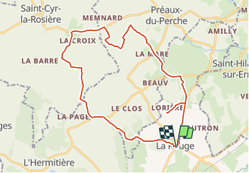
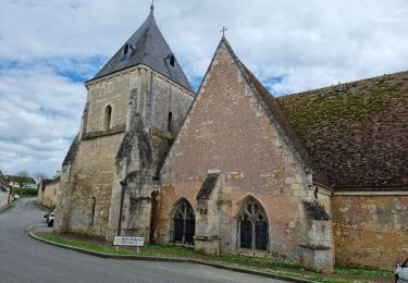
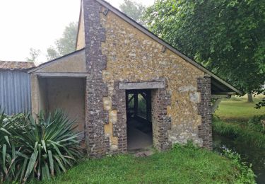
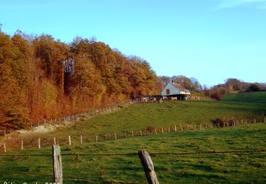
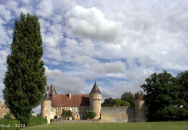
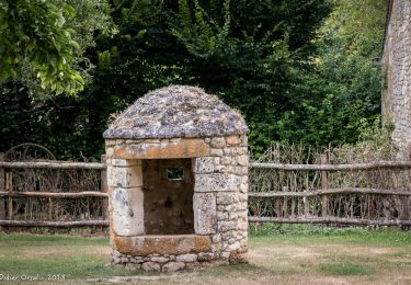
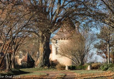
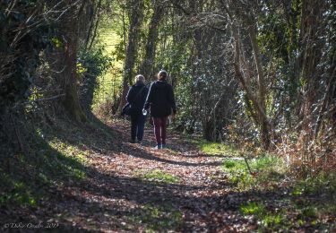
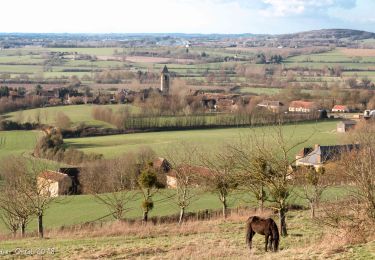
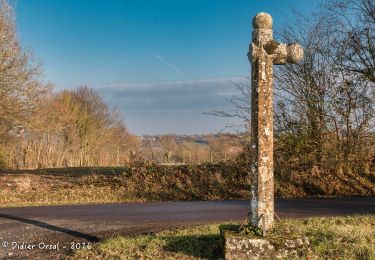
Randonnée Marche de 18,5 km à découvrir à Normandie, Orne, Val-au-Perche. Cette randonnée est proposée par togolo28.

Profil altimétrique

Localisation

Pays :
France
Région :
Normandie
Département/Province :
Orne
Commune :
Val-au-Perche
Localité :
Unknown
Départ:(Dec)
Départ:(UTM)
329960 ; 5350672 (31U) N.

Randonnées à proximité

Randonnée Marche Perche en Nocé - Préaux-du-Perche Nord - Photo
Marche
guydu41

Marche

Facile
(1)
Perche en Nocé, Normandie, Orne, France
11,3 km | 13,2 km-effort
2h 59min
Oui
Randonnée Marche Perche en Nocé - Préaux-du-Perche Sud - Photo
Marche
guydu41

Marche

Moyen
Perche en Nocé, Normandie, Orne, France
7,9 km | 9,5 km-effort
2h 9min
Oui
Randonnée Marche Val-au-Perche - Le Theil-sur-Huisne (Val-au-Perche)-Saint-Germain-de-la-Coudre - 7,4 Km - Photo
Marche

Marche

Moyen
Val-au-Perche, Normandie, Orne, France
7,4 km | 9,6 km-effort
2h 3min
Non
Randonnée Marche Saint-Cyr-la-Rosière - Au fil de la Rosière 7,1 Km - Photo
Marche
ODDAD78

Marche

Moyen
Saint-Cyr-la-Rosière, Normandie, Orne, France
7,1 km | 8,6 km-effort
1h 57min
Oui
Randonnée Marche Perche en Nocé - Val d'Enfer 17Km - Photo
Marche
ODDAD78

Marche

Moyen
Perche en Nocé, Normandie, Orne, France
16,7 km | 19,5 km-effort
4h 16min
Oui
Randonnée Marche Perche en Nocé - Nobles logis (Préaux-du-Perche) 9,4Km - Photo
Marche
ODDAD78

Marche

Facile
Perche en Nocé, Normandie, Orne, France
9,3 km | 10,9 km-effort
2h 19min
Oui
Randonnée Marche Perche en Nocé - Les Panoramas 5,5 Km - Photo
Marche
ODDAD78

Marche

Très facile
Perche en Nocé, Normandie, Orne, France
5,4 km | 6,5 km-effort
1h 15min
Oui
Randonnée Marche Val-au-Perche - Le Theil-sur-Huisne (Val-au-Perche) - Saint-Cyr-la-Rosière 11 km - Photo
Marche

Marche

Facile
Val-au-Perche, Normandie, Orne, France
11,2 km | 13,6 km-effort
2h 52min
Non
Randonnée Marche Saint-Cyr-la-Rosière - La Croix de Lognonnet 9.2 Km - Photo
Marche
ODDAD78

Marche

Facile
Saint-Cyr-la-Rosière, Normandie, Orne, France
9,2 km | 10,7 km-effort
2h 22min
Oui


Fermer
Mes abonnements