


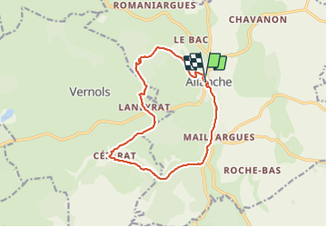

24 km | 31 km-effort


Utilisateur


Application GPS de randonnée GRATUITE
 SityTrail
IGN / Instituts géographiques
SityTrail World
Le monde est à vous
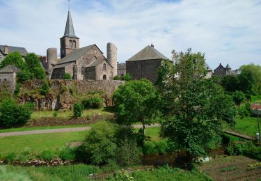
Randonnée Marche de 14,5 km à découvrir à Auvergne-Rhône-Alpes, Cantal, Allanche. Cette randonnée est proposée par martial15.
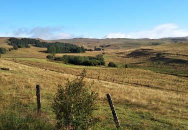
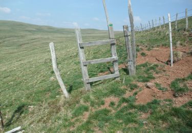
petite randonnée familiale avec de très beaux paysages très facile d'accès à éviter en poussette
Marche
Marche
Marche

Marche

Vélo de route
Marche

Randonnée équestre
Randonnée équestre