


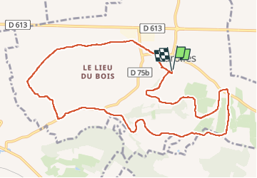

11,7 km | 13,2 km-effort


Utilisateur


Application GPS de randonnée GRATUITE
 SityTrail
IGN / Instituts géographiques
SityTrail World
Le monde est à vous
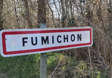
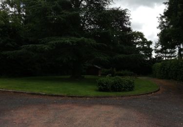
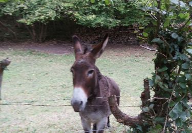
Randonnée Marche de 11,6 km à découvrir à Normandie, Calvados, Marolles. Cette randonnée est proposée par Eve - Line.
Joli circuit🙃🤗
Marche

Autre activité
Marche
Marche
Marche
Marche

Marche
Marche