


10,3 km | 11,4 km-effort

Utilisateur


Application GPS de randonnée GRATUITE
 SityTrail
IGN / Instituts géographiques
SityTrail World
Le monde est à vous
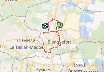
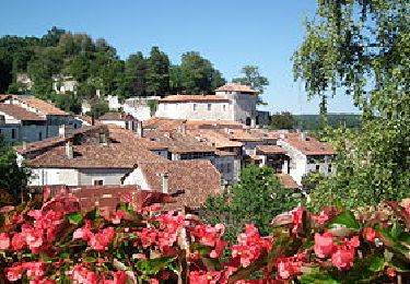
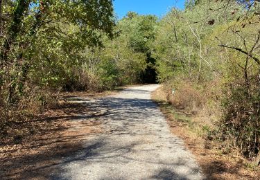
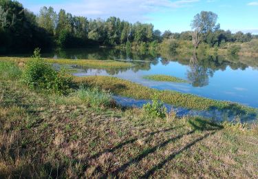
Randonnée Marche de 12,4 km à découvrir à Nouvelle-Aquitaine, Gironde, Blanquefort. Cette randonnée est proposée par bedous.
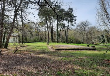
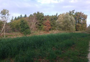
Circuit autour de Blanquefort passant par plusieurs parcs. La boucle Sud est très attrayante . La boucle Nord peut être délaissée pour raccourcir la rando. Rando sans grandes difficultés.


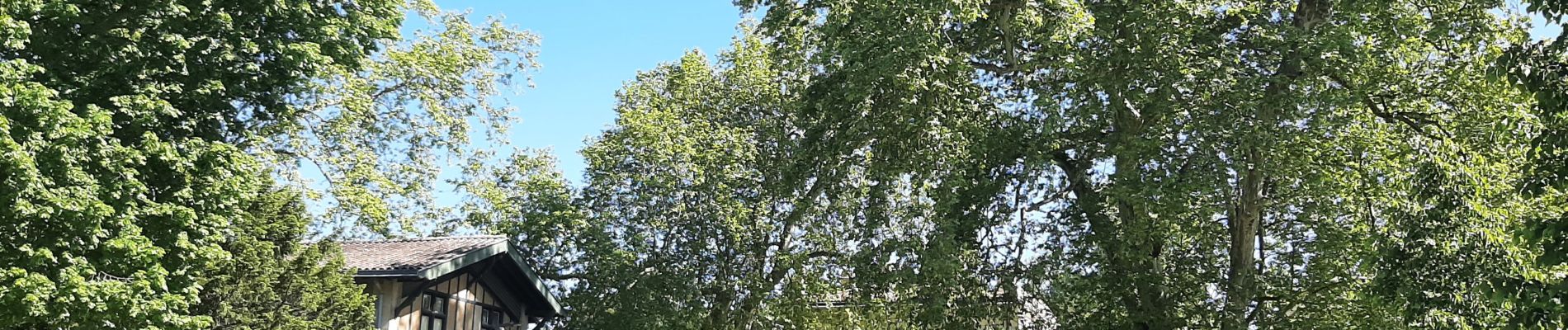
Marche
Marche
Marche

Marche
Moteur
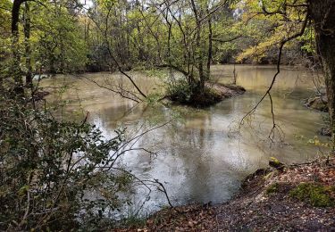
Marche
Marche
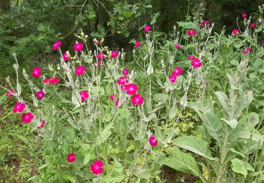
Marche
Marche