


21 km | 25 km-effort

Utilisateur


Application GPS de randonnée GRATUITE
 SityTrail
IGN / Instituts géographiques
SityTrail World
Le monde est à vous
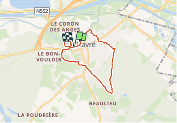
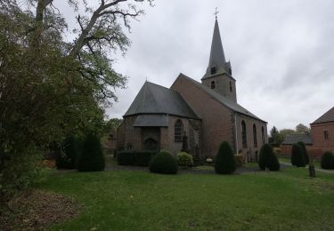
Randonnée Marche de 5,8 km à découvrir à Wallonie, Hainaut, Mons. Cette randonnée est proposée par ELISECRO.
départ du château vers le village par des petites sentes et venelles, parcours dans le bois et sentier autour du château (visite du jardin si envie)
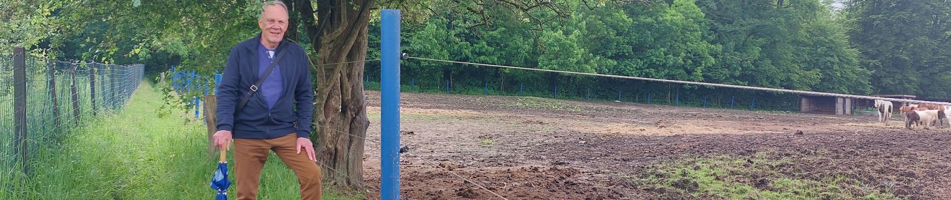
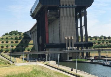
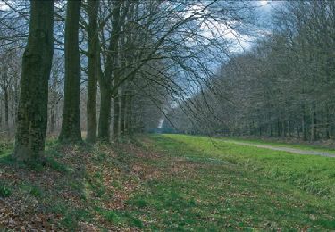
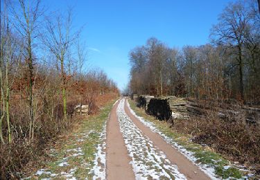
 - Photo 1")
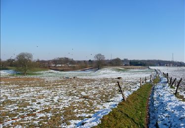
 - Photo 2")
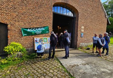
 - Photo 3")
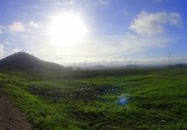
 - Photo 4")
 - Photo 5")
 - Photo 6")
 - Photo 7")
 - Photo 8")
 - Photo 9")

Marche
Marche
Marche
Marche
Marche

Marche
Marche
V.T.T.
Marche