


14,2 km | 19,8 km-effort

Utilisateur


Application GPS de randonnée GRATUITE
 SityTrail
IGN / Instituts géographiques
SityTrail World
Le monde est à vous
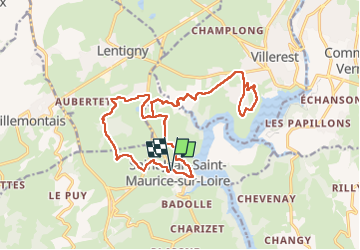
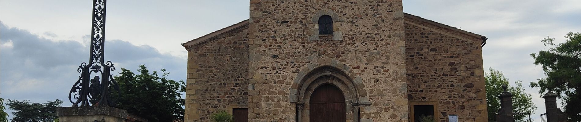
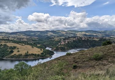
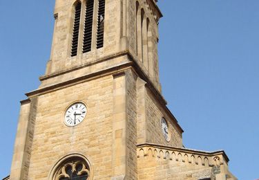
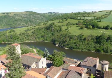
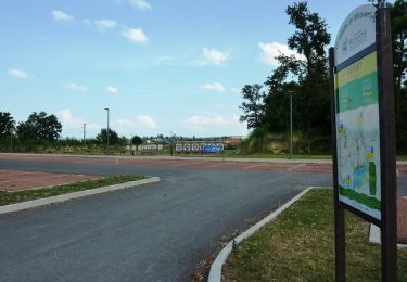
Randonnée Marche de 21 km à découvrir à Auvergne-Rhône-Alpes, Loire, Saint-Jean-Saint-Maurice-sur-Loire. Cette randonnée est proposée par dudu42.
Parcours composé a 30� bitume.
Parties avec le chant des oiseaux,des grillons et du croisement des grenouilles !.
Milles senteurs en cours de trajet (printemps).
Beaux points de vue.
Peu de monde.


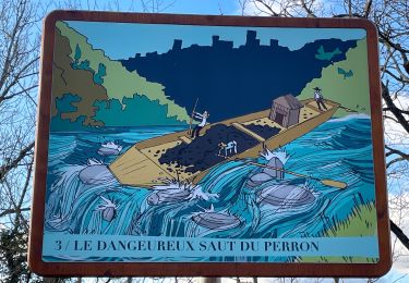
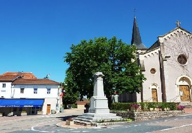
30 photos au total. Cliquez sur une photo pour les afficher toutes dans la galerie.

Marche


sport
Marche
Marche
Marche
A pied
Marche
V.T.T.
V.T.T.