


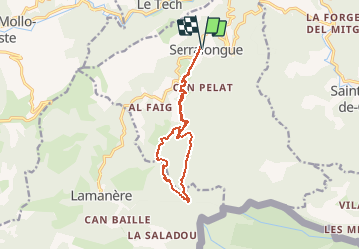

12,1 km | 19,5 km-effort

Utilisateur


Application GPS de randonnée GRATUITE
 SityTrail
IGN / Instituts géographiques
SityTrail World
Le monde est à vous
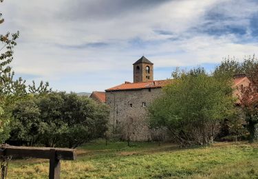
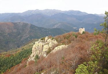
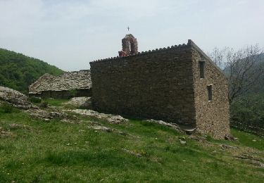
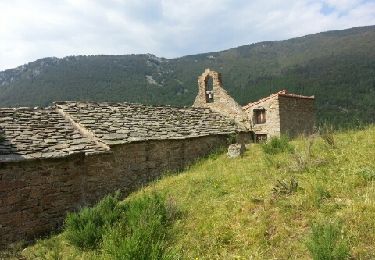
Randonnée Marche de 13,3 km à découvrir à Occitanie, Pyrénées-Orientales, Serralongue. Cette randonnée est proposée par force.
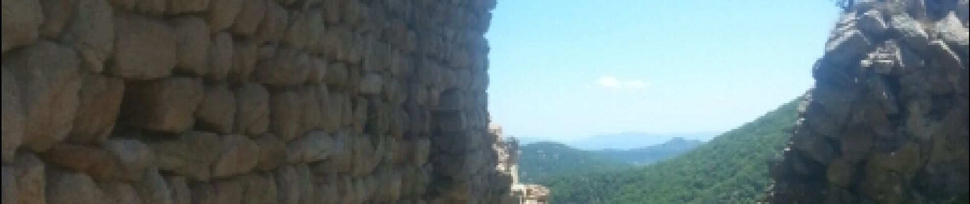
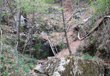
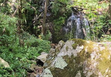
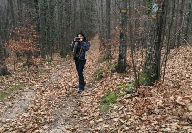
Départ de l'école rando protégée de la tramontane, beaux sous bois


Marche
Marche
Marche
Marche
Marche
Marche
Marche
Marche