


La forêt de St Germain

c.chehere
Utilisateur
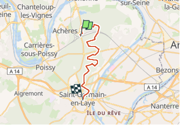

Longueur
17 km

Altitude max
97 m

Dénivelé positif
175 m
Km-Effort
19,2 km

Altitude min
39 m

Dénivelé négatif
120 m
Boucle
Non
Date de création :
2024-12-16 07:35:18.966
Dernière modification :
2024-12-16 15:16:50.137
5h42
Difficulté : Très difficile

Application GPS de randonnée GRATUITE
 SityTrail
IGN / Instituts géographiques
SityTrail Plus
Le monde est à vous
À propos
Randonnée Marche de 17 km à découvrir à Île-de-France, Yvelines, Saint-Germain-en-Laye. Cette randonnée est proposée par c.chehere.
Description
De la gare "Achères grand cormier" RER A à la gare RER A "St Germain en Laye"
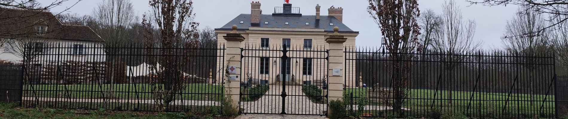
Photos


Localisation
Pays :
France
Région :
Île-de-France
Département/Province :
Yvelines
Commune :
Saint-Germain-en-Laye
Localité :
Saint-Germain-en-Laye
Départ:(Dec)
Départ:(UTM)
433525 ; 5422880 (31U) N.
Commentaires