Randonnée Marche Prinsuéjols-Malbouzon - Tour de l'Aubrac E6 - Photo
 Zygomat
Zygomat

Utilisateur

© OpenStreetMap contributors
Longueur
Longueur
19 km
Altitude max
Altitude max
1262 m
Dénivelé positif
Dénivelé positif
218 m
Km-Effort
Km-Effort  
23 km
Altitude min
Altitude min
1022 m
Dénivelé négatif
Dénivelé négatif
422 m
Boucle
Boucle
Non
Date de création :
2015-07-22 00:00:00.0
Dernière modification :
2015-07-22 00:00:00.0

(0 Avis)

Marche
Marche
5h30
Difficulté : Facile

Scannez ce code QR pour ouvrir la randonnée dans l'application SityTrail

Application GPS de randonnée GRATUITE

Logo SityTrail SityTrail

IGN / Instituts géographiques

Télécharger SityTrail sur l'App Store Télécharger SityTrail sur Google Play

Logo SityTrail SityTrail World

Le monde est à vous

Télécharger SityTrail sur l'App Store Télécharger SityTrail sur Google Play Télécharger SityTrail sur Huawei AppGallery

À propos

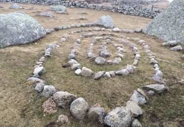
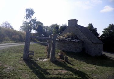
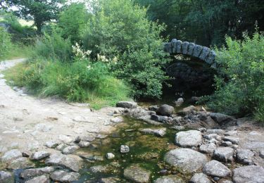
Randonnée Marche de 19 km à découvrir à Occitanie, Lozère, Prinsuéjols-Malbouzon. Cette randonnée est proposée par Zygomat.

Description

6eme Etape : Usanges - Aumont Aubrac

Profil altimétrique

Localisation

Pays :
France
Région :
Occitanie
Département/Province :
Lozère
Commune :
Prinsuéjols-Malbouzon
Localité :
Prinsuéjols
Départ:(Dec)
Départ:(UTM)
512293 ; 4942994 (31T) N.

Randonnées à proximité

Randonnée Marche Prinsuéjols-Malbouzon - Prinsuejouls GR 65 - Photo
Marche
GUIDE
antignacs

Marche

Très facile
(1)
Prinsuéjols-Malbouzon, Occitanie, Lozère, France
15,3 km | 18,4 km-effort
3h 42min
Oui
Randonnée Marche Marchastel - Rieutort lac san andeol cascade deroc  - Photo
Marche
GUIDE
antignacs

Marche

Facile
(1)
Marchastel, Occitanie, Lozère, France
17,5 km | 20 km-effort
4h 52min
Oui
Randonnée Marche Saint-Laurent-de-Muret - Tour des Monts d'Aubrac - De St Laurent de Muret au refuge des Rajas - Photo
Marche
tracegps

Marche

Moyen
(1)
Saint-Laurent-de-Muret, Occitanie, Lozère, France
15 km | 21 km-effort
3h 30min
Non
Randonnée Marche Saint-Laurent-de-Muret - st Laurent de Muret la Blatte  - Photo
Marche
lecamisard

Marche

Moyen
Saint-Laurent-de-Muret, Occitanie, Lozère, France
18,4 km | 25 km-effort
6h 24min
Oui
Randonnée A pied Marchastel - Marchastel - Lac Saint-Andéol - Photo
A pied
PRO

A pied

Facile
Marchastel, Occitanie, Lozère, France
6,8 km | 8,3 km-effort
1h 53min
Non
Randonnée Marche Prinsuéjols-Malbouzon - Usanges pont du bes  - Photo
Marche
GUIDE
antignacs

Marche

Facile
Prinsuéjols-Malbouzon, Occitanie, Lozère, France
13,5 km | 16,4 km-effort
3h 42min
Non
Randonnée Marche Prinsuéjols-Malbouzon - De Prinsuéjols à Aubrac  - Photo
Marche
tracegps

Marche

Difficile
Prinsuéjols-Malbouzon, Occitanie, Lozère, France
22 km | 28 km-effort
5h 30min
Non
Randonnée Marche Prinsuéjols-Malbouzon - Tour des Monts d'Aubrac - De Prinsuéjols à St Laurent de Muret - Photo
Marche
tracegps

Marche

Moyen
Prinsuéjols-Malbouzon, Occitanie, Lozère, France
15 km | 19,1 km-effort
4h 0min
Non
Randonnée Marche Saint-Laurent-de-Muret - Le truc de Crouzet - Photo
Marche
ZITO12

Marche

Très facile
Saint-Laurent-de-Muret, Occitanie, Lozère, France
9,6 km | 12,8 km-effort
4h 11min
Oui


Fermer
Mes abonnements