


250626 - Vendes - Table orientation LeMas

randodan
Utilisateur
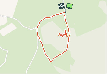

Longueur
2 km

Altitude max
672 m

Dénivelé positif
45 m
Km-Effort
2,6 km

Altitude min
629 m

Dénivelé négatif
46 m
Boucle
Oui
Date de création :
2025-06-26 14:19:48.48
Dernière modification :
2025-06-26 15:18:46.924
57m
Difficulté : Facile

Application GPS de randonnée GRATUITE
 SityTrail
IGN / Instituts géographiques
SityTrail Plus
Le monde est à vous
À propos
Randonnée Marche de 2 km à découvrir à Auvergne-Rhône-Alpes, Cantal, Veyrières. Cette randonnée est proposée par randodan.
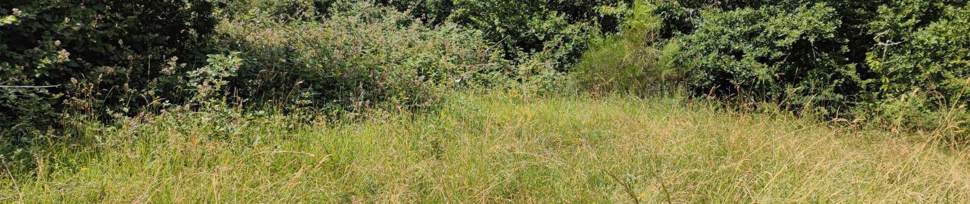
Photos

Localisation
Pays :
France
Région :
Auvergne-Rhône-Alpes
Département/Province :
Cantal
Commune :
Veyrières
Localité :
Unknown
Départ:(Dec)
Départ:(UTM)
451288 ; 5017608 (31T) N.
Commentaires