


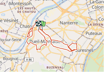

7,7 km | 10,3 km-effort


Utilisateur


Application GPS de randonnée GRATUITE
 SityTrail
IGN / Instituts géographiques
SityTrail World
Le monde est à vous
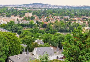
Randonnée Moteur de 23 km à découvrir à Île-de-France, Hauts-de-Seine, Rueil-Malmaison. Cette randonnée est proposée par sbouju.
La première rando en monocycle électrique organisée par Jérémy sur son territoire, incluant notamment le tour du Mont Valérien.

Marche

Marche
A pied
Marche

Vélo de route
Marche
Marche
Marche
Marche