


escandille charande 1709 m

mouss65
Utilisateur
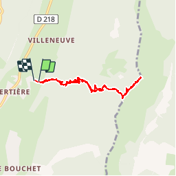

Longueur
8,1 km

Altitude max
1715 m

Dénivelé positif
610 m
Km-Effort
16,3 km

Altitude min
1095 m

Dénivelé négatif
624 m
Boucle
Oui
Date de création :
2015-12-27 00:00:00.0
Dernière modification :
2015-12-27 00:00:00.0
2h21
Difficulté : Inconnu

Application GPS de randonnée GRATUITE
 SityTrail
IGN / Instituts géographiques
SityTrail Plus
Le monde est à vous
À propos
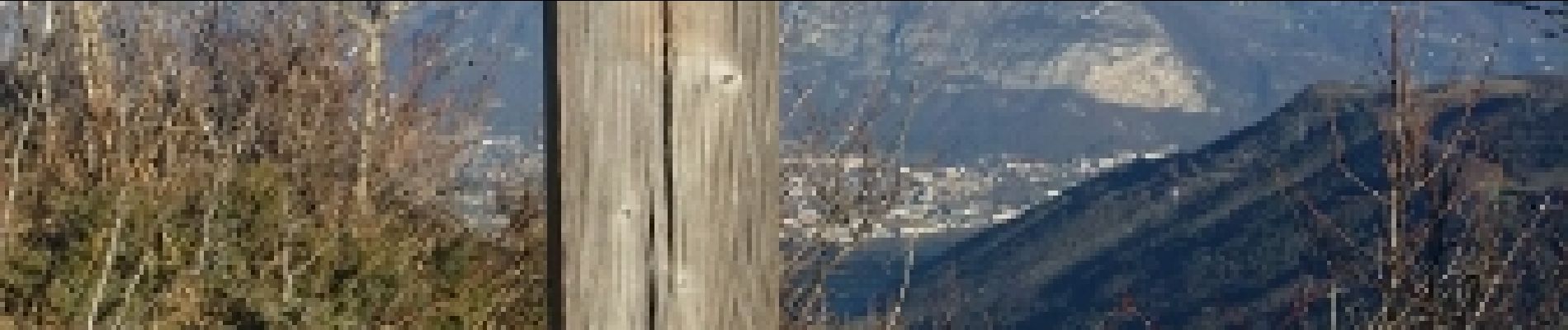
Randonnée Course à pied de 8,1 km à découvrir à Auvergne-Rhône-Alpes, Isère, Autrans-Méaudre en Vercors. Cette randonnée est proposée par mouss65.
Photos


Localisation
Pays :
France
Région :
Auvergne-Rhône-Alpes
Département/Province :
Isère
Commune :
Autrans-Méaudre en Vercors
Localité :
Autrans
Départ:(Dec)
Départ:(UTM)
701659 ; 5006806 (31T) N.
Commentaires