


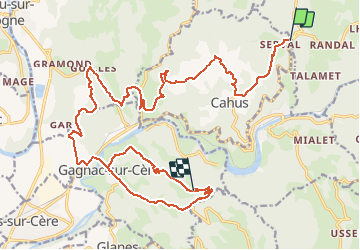

14 km | 17,5 km-effort


Utilisateur


Application GPS de randonnée GRATUITE
 SityTrail
IGN / Instituts géographiques
SityTrail World
Le monde est à vous
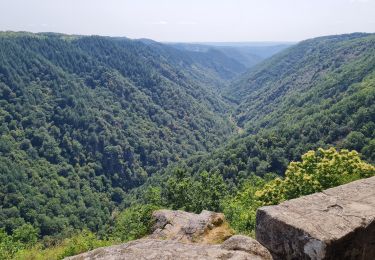
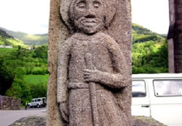
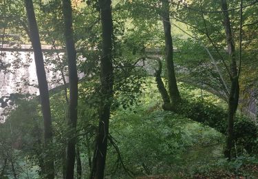
Randonnée Autre activité de 37 km à découvrir à Occitanie, Lot, Laval-de-Cère. Cette randonnée est proposée par alain46.
Marche
Marche

Marche
Marche

Voiture
Moteur

Marche
Moteur

Course à pied