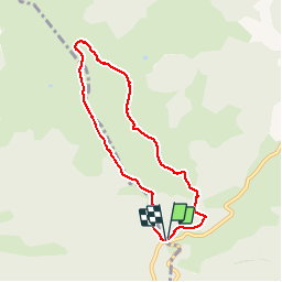

21 km | 36 km-effort


Utilisateur


Application GPS de randonnée GRATUITE
 SityTrail
IGN / Instituts géographiques
SityTrail World
Le monde est à vous
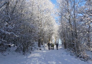
Randonnée Raquettes à neige de 8,4 km à découvrir à Occitanie, Ariège, Prades. Cette randonnée est proposée par bgirard.
Petite ballade bien sympa même si la neige était peu présente
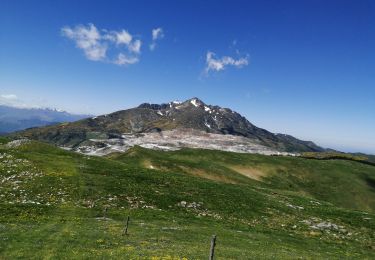
Mointer par la droite pour redescendre sur la crête face au belvédère pyrénéen
Marche
Marche
Marche
Marche

Raquettes à neige
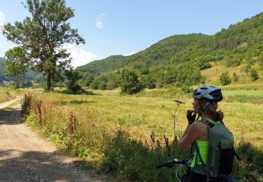
V.T.T.
Marche