


10,6 km | 14,8 km-effort
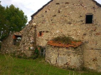
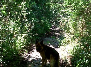
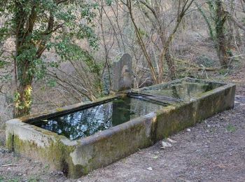
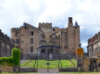
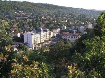
Châtel-Guyon: Scopri i migliori percorsi: 76 percorsi a piedi e 8 percorsi in bicicletta o MTB. Tutti questi percorsi, itinerari e attività outdoor sono disponibili nelle nostre app SityTrail per smartphone e tablet.
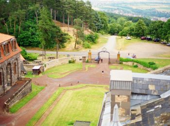
Marcia


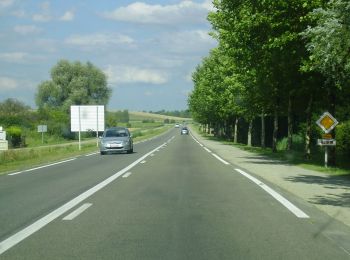
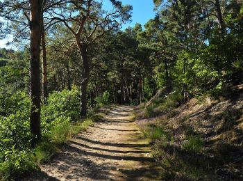
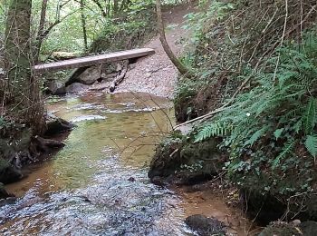
• Balade sympathique alternant forêt et chemins à faire en famille sans difficultés.
Marcia
Marcia
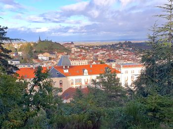
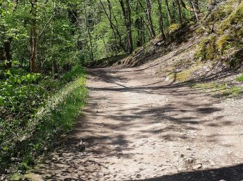
• Balade facile la plupart en sous bois à faire en famille.
Marcia
A piedi
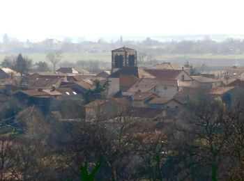
• Trail created by CD63.
A piedi
• Trail created by CD63.

Marcia
Marcia
Marcia
Marcia
Marcia
Marcia
Marcia

Mountainbike
Marcia
Marcia
Marcia
Marcia
Marcia
Marcia
20 percorsi visualizzati su 84
Applicazione GPS da escursionismo GRATUITA
 SityTrail
IGN / Istituti geografici
SityTrail World
Il mondo è tuo