


10,2 km | 15,4 km-effort
Ventron: Scopri i migliori percorsi: 96 percorsi a piedi, 3 percorsi in bicicletta o MTB e 3 percorsi a cavallo. Tutti questi percorsi, itinerari e attività outdoor sono disponibili nelle nostre app SityTrail per smartphone e tablet.
Marcia


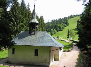
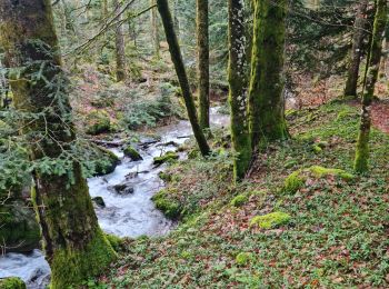
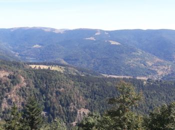
• Belle randonnée aérienne vers l'Ermitage de Frère Joseph, Fondronfaing, la Haute Fouillée et la Faigne de l'Envers.
Marcia
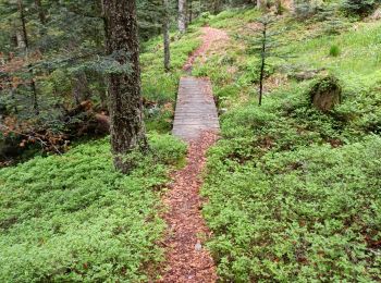
A piedi
• Trail created by Club Vosgien Ventron.
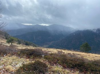
A piedi
• Trail created by Club Vosgien.

Marcia
• Promenade avec belles grimpettes
Marcia
Marcia
Marcia
Marcia
Marcia
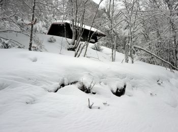
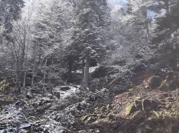
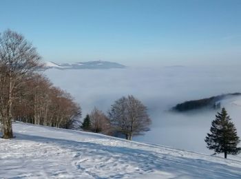
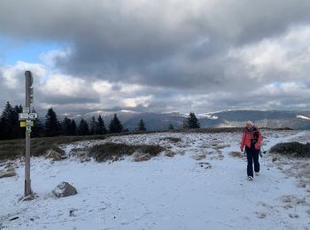
Racchette da neve
• File with points/tracks from Locus Map/3.50.1
Marcia
• Faite le 12/08/2018 avec notre fils Théo de 13 ans. D'après le "Guide Franck - Vosges" N°30 : Col d'Oderen - Drumont ...
Marcia
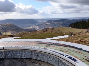
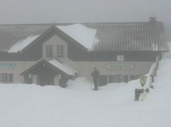
• Au départ du Chalet du Tremplin au Col d'Oderen, la Chaumes des Vintergés est accessible par le dessus du Pré de l'Et...
Marcia
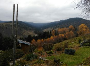
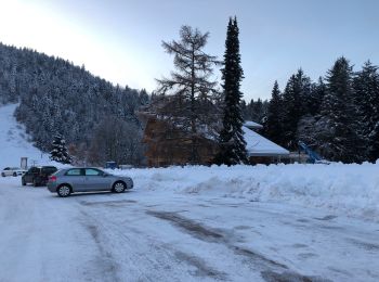
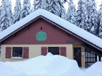
• Très belle randonnée en raquettes sous le soleil et sur un lit de neige de plus d'un mètre d'épaisseur, au départ du ...
Racchette da neve
Racchette da neve
Racchette da neve
Marcia
Marcia
Marcia
20 percorsi visualizzati su 118
Applicazione GPS da escursionismo GRATUITA
 SityTrail
IGN / Istituti geografici
SityTrail World
Il mondo è tuo