


10,8 km | 13,8 km-effort

Randonnées de Vélo Loisir Provence GUIDE+


Kostenlosegpshiking-Anwendung
 SityTrail
IGN / Geografische Institute
SityTrail World
Die Welt öffnet sich für Sie
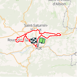
Tour Fahrrad von 51 km verfügbar auf Provence-Alpes-Côte d'Azur, Vaucluse, Apt. Diese Tour wird von Vélo Loisir Provence vorgeschlagen.
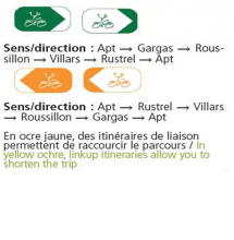
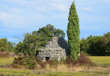
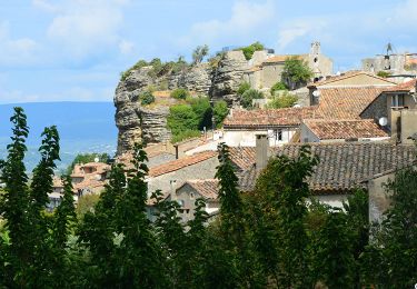
The Ochre by Bike : A highly colourful itinerary ! Along quiet pretty little roads this itinerary, practicable for all cyclists, passes through some of the most beautiful country side and most remarkable villages to be found in the Luberon Natural Regional Park. The earth’s texture and colour invite the light to play along in contrasts throughout the changing seasons. The mineral ochre deposits of the Vaucluse “department” are formed into sites of exceptional natural beauty. Be enthralled by the magical splendor of these locations. This circuit takes the little roads to be found in proximity to the natural ochre sites. You will not be expected to cycle in the ochre ! The links allow one to shorten this itinerary in which you have the freedom to wander over the 15 km / 9 miles of a circular tour.


Wandern

Wandern
Fahrrad

Wandern
Wandern
Wandern
Wandern
Wandern
Wandern
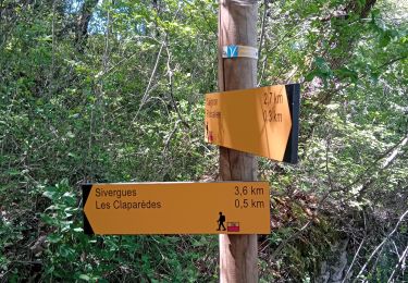
Très mal balisé
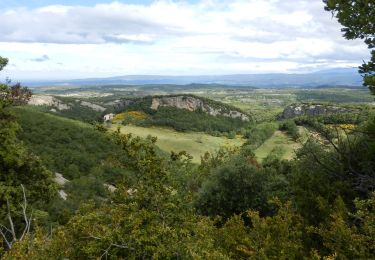
superbe parcours villages magnifiques cadre agréable