


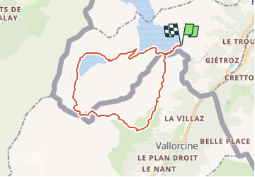

8.7 km | 19 km-effort
![Trail Other activity Finhaut - Col de Terrasse, Lac du Vieux Emosson [loop/boucle/Rundwand.] - Photo](https://media.geolcdn.com/t/1900/400/ext.pjpeg?maxdim=2&url=https%3A%2F%2Fstatic1.geolcdn.com%2Fsiteimages%2Fupload%2Ffiles%2F1545311037marcheuse_200dpi.jpg)

User


FREE GPS app for hiking
 SityTrail
IGN / Geographical institutes
SityTrail World
The world is yours!
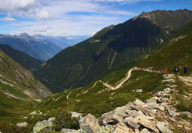
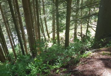
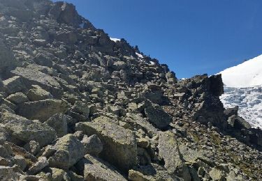
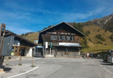
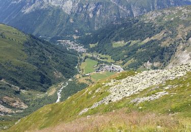
Trail Other activity of 15.1 km to be discovered at Valais/Wallis, Saint-Maurice, Finhaut. This trail is proposed by pnoth.
English: http://www.noth.ch/h0121_e.html
Français: http://www.noth.ch/h0121_f.html
Deutsch: http://www.noth.ch/h0121_d.html
Touring skiing
Walking
On foot
On foot
Walking
Walking
Walking

Walking
Walking